Red Bluff Recreation Area
Viburnum, Missouri · 823 ft
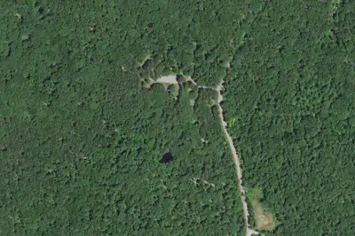
Aerial view · USGS / USDA NAIP · Public domain · source
At a glance
3 of 8 facts known · Forest Service data, checked Oct 3, 2026
- Elevation
- 823 ft (251 m)823 ft251 m
- Land
- Mark Twain National Forest
U.S. Forest Service
Amenities
From OpenStreetMap, USDA Forest Service — Recreation Opportunities, USFS INFRA Recreation Sites · Correct
- Toilets
From OpenStreetMap, USDA Forest Service — Recreation Opportunities, USFS INFRA Recreation Sites
You could be the first camper hereYou could be the first camper on this page
Stayed here? Share what the next camper should know.
Free account · no email needed to browse
About
Red Bluff Campground is named for towering red bluffs along Huzzah Creek, carved by the elements over the past 10,000 years. The area used to be home to timber mills, but now provides a serene spot for camping and enjoying nature. Early settlement of the area surrounded the Boyer Mill constructed around 1830. Railroads created a thriving timber industry till the supply was depleted. The land was purchased by the U.S. Forest Service in 1940 and has been used as a recreation area. Large, red bluffs on the opposite side of Huzzah Creek, gravel bars along the creek, a mixture of pools and riffles and natural vegetation provide a backdrop for a very relaxing camping experience at the campground. Red Bluff is located in the Potosi-Fredericktown Ranger District of the Mark Twain National Forest. Most sites are within 100 yards of Huzzah Creek, where tubing and swimming are enjoyed by visitors. The water can be swift-moving at times and rocks and drop-offs are not marked. Fishing is also popular in the area and anglers can expect to find bass, perch and catfish. The Red Bluff Trail lies within the boundaries of the campground. It is a 1.2-mile loop that winds through a pine plantation and big oak timber, into an adjoining hollow before returning to the campground. The short trail provides an opportunity for visitors to enjoy a variety of ecological communities, while reaping the benefits of a half-hour of hiking.
Fees: Overnight Use:
From OpenStreetMap, USDA Forest Service — Recreation Opportunities, and USFS INFRA Recreation Sites · · Edit
Cell service
Report signalFCC map: no coverage reported
- VerizonNo coverage on FCC map
- AT&TNo coverage on FCC map
- T-MobileNo coverage on FCC map
Cell service at Red Bluff Recreation Area: FCC map Dec 2025
Weather
National Weather Service
- WedPatchy Fog then Showers And Thunderstorms, 93% chance of rain80°66°
- ThuChance Showers And Thunderstorms, 59% chance of rain85°47°
- FriChance Rain Showers then Mostly Sunny, 35% chance of rain60°35°
- SatSunny64°37°
- SunSunny72°45°
Nearby camping
SeeSee all on the map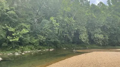
Red Bluff Campground
Public Land · 0.3 mi · Viburnum
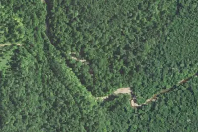
Hazel Creek Campground
Public Land · 8.6 mi · Viburnum
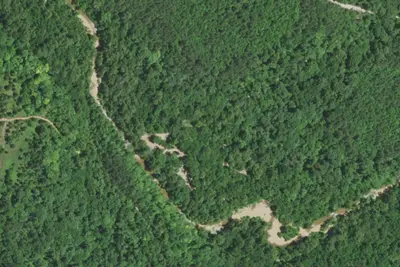
Hazel Creek Campground
Public Land · 8.6 mi · Viburnum
3 more within 25 mi
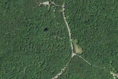
5 OpenStreetMap entries in Viburnum share one park. They may be individual sites of a single campground. Suggest a merge
Dispersed camping nearby
Free dispersed camping within 19 mi, on public land.
- 11 mi
Camp site
Potosi, MO · On U.S. Forest Service land · Mark Twain National Forest
- 12 mi
Beecher Spring
Potosi, MO
- 12 mi
Edward Beecher Recreation Area
Potosi, MO · On U.S. Forest Service land · Mark Twain National Forest
- 14 mi
Walk In Campsites 5 to 8
Caledonia, MO · On U.S. Forest Service land · Mark Twain National Forest
- 14 mi
Walk In 1 to 4
Caledonia, MO · On U.S. Forest Service land · Mark Twain National Forest
Location and contact
Data from OpenStreetMap, USDA Forest Service — Recreation Opportunities, USFS INFRA Recreation Sites
Something wrong here? Suggest an edit
Run this campground? Claim the listing