Quartz Flat Campground (MT)
Riverbend, Montana · 2,867 ft · In Lolo National Forest
Photos: Forest Service
Wildfire 25 mi SW: Moose Mountain, 5,832 acres, 90% contained
At a glance
6 of 8 facts known · recreation.gov, checked Oct 3, 2026
- Elevation
- 2,867 ft (874 m)2,867 ft874 m
Loops3
Pick a loop to see its sites.
From recreation.gov's site list, Oct 10, 2026: 3 staff entries left out. Loop names are trimmed and merged.
How we name loops
“S&P” is a staff entry, not a campsite, and is left out.
Amenities
From OpenStreetMap, Recreation.gov, Recreation.gov — campground rate cards, USDA Forest Service — Recreation Opportunities, USFS INFRA Recreation Sites · Correct
- Caravan / RV sites
- Dump station
- Tent sites
From OpenStreetMap, Recreation.gov, Recreation.gov — campground rate cards, USDA Forest Service — Recreation Opportunities, USFS INFRA Recreation Sites
You could be the first camper hereYou could be the first camper on this page
Stayed here? Share what the next camper should know.
Free account · no email needed to browse
About
Overview
Quartz Flat Campground is located just off of Interstate 90, 45 minutes west of Missoula, Montana and 15 minutes east of Superior, Montana. The paved campground has three loops and 78 sites total. There is water, dump stations, vault and flush toilets, trash, picnic tables, fire rings, a short interpretative trail, and Camp Hosts. The campground sits above the Clark Fork River in the shade of pines trees. Be aware the campground receives alot of noise from Interstate 90 and passing trains.
Recreation
The campground is in close proximity to launch sites along the Clark Fork River, including the Alberton Gorge. The campground can accomodate large groups recreating on the river or in the National Forest. It is within walking distance from the Clark Fork River and it has a self-guided nature trail. The Quartz Flat Campground is one of three campgrounds located along Interstate 90 between Idaho and Missoula, Montana.
From OpenStreetMap, Recreation.gov, Recreation.gov — campground rate cards, USDA Forest Service — Recreation Opportunities, and USFS INFRA Recreation Sites · · Edit
Cell service
Report signal- Verizon4G LTE
- AT&T5G · 4G LTE
- T-MobileNo coverage on FCC map
Cell service at Quartz Flat Campground (MT): FCC map Dec 2025
Weather
National Weather Service
- WedMostly Sunny, 2% chance of rain59°36°
- ThuSunny61°39°
- FriSunny70°41°
- SatSunny66°37°
- SunSunny, 1% chance of rain61°41°
Nearby camping
SeeSee all on the map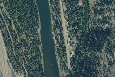
Forest Grove Fishing Access
Campground · 0.4 mi · Riverbend
Drd-Como550rd-007
Dispersed · 3.1 mi · Riverbend
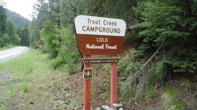
Trout Creek Campground (MT)
Public Land · 5.5 mi · Riverbend
3 more within 25 mi
Dispersed camping nearby
Free dispersed camping within 19 mi, on public land.
Location and contact
Data from OpenStreetMap, Recreation Information Database (RIDB) / Recreation.gov, Recreation.gov — campground rate cards, USDA Forest Service — Recreation Opportunities, USFS INFRA Recreation Sites
Something wrong here? Suggest an edit
Run this campground? Claim the listing