Quaking Aspen Campground
Ponderosa, California · 7,011 ft
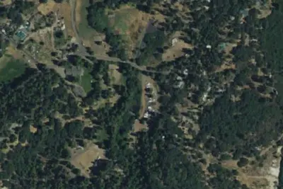
Aerial view · USGS / USDA NAIP · Public domain · source
Photos taken nearby
From Wikimedia Commons, taken close to this campground — not necessarily pictures of it.
Wildfire 45 mi NW: Land, 20 acres
At a glance
3 of 8 facts known · Forest Service data, checked Oct 3, 2026
- Elevation
- 7,011 ft (2,137 m)7,011 ft2,137 m
Amenities
You could be the first camper hereYou could be the first camper on this page
Stayed here? Share what the next camper should know.
Free account · no email needed to browse
About
Located along the Western Divide Highway a quarter of a mile past the end of State Highway 190 (27 miles east of Springville). The campground was named for the quaking aspen trees that grow in the area. The trees are a shimmering brilliant green in the spring and deep russet-gold in the fall. Hiking is available on the many trails near the campground. The campground has 32 single family units, two of which are accessible, including a vault toilet. Some units can accommodate recreational vehicles up to a maximum length of 24 feet. Sanitary facilities, potable water, tables, and BBQ stoves are provided. Open from May 15th through October 15th weather depending. Elevation is 7,200 feet. Fishing season is open for Peppermint Creek and streams in the Golden Trout Wilderness from the last Saturday in April to November 15 the Tule River Drainage, which includes Boulder and Belknap Creeks, and the Tule River, are open to fishing year around. Consult the CA Department of Fish and Wildlife for specific regulations. Supplies are available at Ponderosa Lodge located approximately 2 miles from the campground. Group sites are adjacent to the main campground, and are available by RESERVATION ONLY. There are three 12 person sites, two 25 person sites, and two 50 person sites available. The parking area does not accommodate RV hookups. New for the 2015 season are furnished Yurts (canvas tents elevated on a platform) available through reservation only. Nearby Hiking Trails Summit Trail passes through the campground climbing Slate Mountain, or in the opposite direction, to the Golden Trout Wilderness, forking left to Maggie Lakes, and right to Grey Meadow. Freeman Creek Trail meanders through Freeman Sequoia Grove (which is the site of the President George Bush Giant Sequoia tree) and into the Golden Trout Wilderness, either at Jerky or the Forks-of-the-Kern Trailheads. Dome Rocky's 4 miles south of Quaking Aspen and a short walk to the top from the end of the road for a fine view of
Fees: Overnight Use:
From USDA Forest Service — Recreation Opportunities and USFS INFRA Recreation Sites · · Edit
Cell service
Report signal- VerizonNo coverage on FCC map
- AT&T4G LTE
- T-MobileNo coverage on FCC map
Cell service at Quaking Aspen Campground: FCC map Dec 2025
Weather
National Weather Service
- WedSunny58°43°
- ThuSunny63°47°
- FriSunny63°46°
- SatSunny61°44°
- SunSunny60°43°
Nearby camping
SeeSee all on the map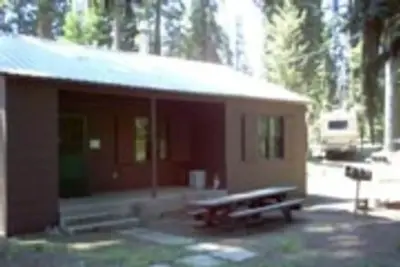
Quaking Aspen Cabin
Public Land · 0.2 mi · Ponderosa
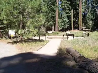
Quaking Aspen
Public Land · 0.2 mi · Ponderosa
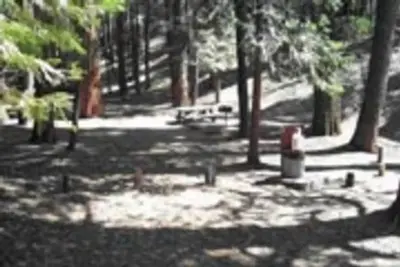
Upper Peppermint Dispersed Area
Public Land · 2.9 mi · Ponderosa
3 more within 25 mi
4 OpenStreetMap entries in Ponderosa share one park. They may be individual sites of a single campground. Suggest a merge
Dispersed camping nearby
Free dispersed camping within 19 mi, on public land.
- 11 mi
Hidden Falls Campground
Sequoia Crest, CA · On State agency land · Mountain Home Demonstration State Forest
- 12 mi
Camp site
Sequoia Crest, CA · On U.S. Forest Service land · Sequoia National Forest
- 13 mi
Camp site
Sequoia Crest, CA · On U.S. Forest Service land · Sequoia National Forest
- 14 mi
Calkins Flats Disperseed Camping Area
Pine Flat, CA
- 15 mi
Chamise Flats Dispersed Camping Area
Pine Flat, CA
- 15 mi
Chamise Flat Campground
Pine Flat, CA · On U.S. Forest Service land · Sequoia National Forest
Location and contact
Data from USDA Forest Service — Recreation Opportunities, USFS INFRA Recreation Sites
Something wrong here? Suggest an edit
Run this campground? Claim the listing