Preservation Point Campsite
Munising, Michigan · 673 ft
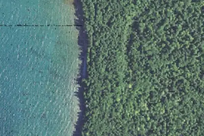
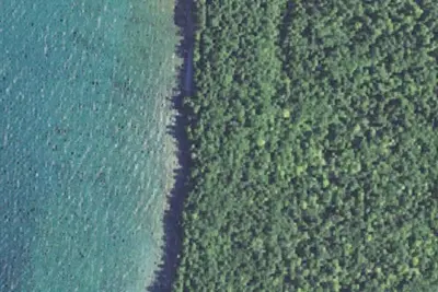
Aerial view · USGS / USDA NAIP · Public domain · source
Wildfire 44 mi W: Ridge, 450 acres, 20% contained
At a glance
3 of 8 facts known · Forest Service data, checked Oct 3, 2026
- Elevation
- 673 ft (205 m)673 ft205 m
- Land
- Hiawatha National Forest
U.S. Forest Service
Amenities
You could be the first camper hereYou could be the first camper on this page
Stayed here? Share what the next camper should know.
Free account · no email needed to browse
About
Grand Island is a Congressionally designated National Recreation Area with fascinating history, beautiful overlooks, pristine sandy beaches, dense hardwood forest, serene inland lakes, and miles of hiking and biking trails. This is a unique destination to spend a day or more biking, hiking, exploring, or just hanging out and recharging. Visitors get to the island by passenger ferry from Munising or private watercraft. The dock at Williams Landing can be used for loading and unloading, but boats may not be left there. Jet skis/motorboats are prohibited from landing on shore. Murray Bay, Trout Bay and North Beach have sand beaches with little to no obstructions where a kayak or paddle boat can land. Most locations on the northwest and northeast sides are sheer cliffs. There are 21 designated campsites, including 2 group sites. Reservations are required Memorial Day through Columbus Day, except for Cobble Cove, Flat Rock, and Muskrat Point, which are first-come/first-served. All reservations must be made through Recreation.gov and can be made up to, and including, the day of arrival. Preservation Point: This campsite is located on the north western tip of Grand Island, approximately 1 mile west of North Beach. The site is approximately 9 miles from William's Landing (ferry service arrival point, and visitor information center). The nearest potable water is approximately 6 miles south of this campsite at Juniper Flats Group Campsite. Plan ahead, and bring drinking water when staying at this site. Water can be filtered from Lake Superior which is accessed at North Beach, approximately 1 mile east of this campsite. This site can accommodate up to 6 people in two tents. A primitive latrine, food storage pole, fire ring, and benches are provided in/near the campsite. Preservation Point can be accessed via the island's trail system. This campsite is not directly accessible by kayakers with north Beach being one mile away.
Fees: No overnight fees are required for this site
From USFS INFRA Recreation Sites · Edit
Cell service
Report signal- VerizonNo coverage on FCC map
- AT&T5G · 4G LTE
- T-MobileNo coverage on FCC map
Cell service at Preservation Point Campsite: FCC map Sep 2026
Weather
National Weather Service
- WedSlight Chance Rain Showers, 15% chance of rain53°42°
- ThuMostly Cloudy then Rain Showers Likely, 57% chance of rain54°46°
- FriRain Showers, 95% chance of rain52°39°
- SatSunny56°41°
- SunSunny61°47°
Nearby camping
SeeSee all on the map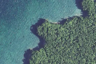
Gull Point Campsite
Public Land · 0.2 mi · Munising
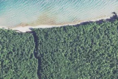
Shelter Ridge Campsite
Public Land · 1.2 mi · Munising
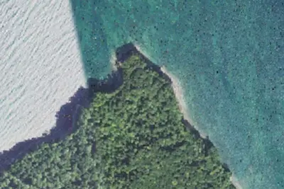
Freighter View Campsite
Public Land · 1.9 mi · Munising
3 more within 25 mi
Location and contact
Data from USFS INFRA Recreation Sites
Something wrong here? Suggest an edit
Run this campground? Claim the listing