Porcupine Rim
Castle Valley, Utah · 7,392 ft
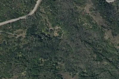
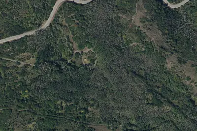
Aerial view · USGS / USDA NAIP · Public domain · source
At a glance
3 of 8 facts known · Forest Service data, checked Oct 3, 2026
- Elevation
- 7,392 ft (2,253 m)7,392 ft2,253 m
- Land
- Manti-La Sal National Forest
U.S. Forest Service
Amenities
You could be the first camper hereYou could be the first camper on this page
Stayed here? Share what the next camper should know.
Free account · no email needed to browse
About
What was once a dispersed camping area has now become a popular developed campground with a number of amenities. It's situated along the Whole Enchilada mountain bike trail. The camping area provides breathtaking views of Castle Valley below.
Fees: No fees are required for this site
From OpenStreetMap and USFS INFRA Recreation Sites · Edit
Cell service
Report signal- Verizon4G LTE
- AT&T5G · 4G LTE
- T-Mobile5G · 4G LTE
Cell service at Porcupine Rim: FCC map Dec 2025
Weather
National Weather Service
- WedRain Showers, 91% chance of rain44°39°
- ThuMostly Sunny, 5% chance of rain52°39°
- FriSunny, 1% chance of rain54°42°
- SatMostly Sunny, 3% chance of rain54°44°
- SunMostly Sunny then Slight Chance Rain Showers, 15% chance of rain55°44°
Nearby camping
SeeSee all on the map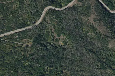
Mason Draw Campground
Public Land · 3.3 mi · Spanish Valley
Site 5
Campground · 3.3 mi · Spanish Valley
Site 4
Campground · 3.4 mi · Spanish Valley
3 more within 25 mi
6 OpenStreetMap entries in Castle Valley share one park. They may be individual sites of a single campground. Suggest a merge
Dispersed camping nearby
Free dispersed camping within 19 mi, on public land.
- 4.6 mi
Camp site
Castle Valley, UT · On Bureau of Land Management land · Moab Field Office
- 5.5 mi
Camp site
Castle Valley, UT · On U.S. Forest Service land · Manti-La Sal National Forest
- 7.2 mi
Bull Draw, Manti La Sal NF Road Campsite
Castle Valley, UT · On U.S. Forest Service land · Manti-La Sal National Forest
- 9.6 mi
White's Rapid Camps
Castle Valley, UT · On State agency land · The State of Utah Forrest, Fire and State Lands; Sovereign Lands 14
- 11 mi
Camp site
Spanish Valley, UT · On Bureau of Land Management land · Moab Field Office
- 11 mi
Camp site
Spanish Valley, UT · On Bureau of Land Management land · Moab Field Office
Location and contact
Something wrong here? Suggest an edit
Run this campground? Claim the listing