Ponderosa Campground
Tonto Village, Arizona · 5,676 ft
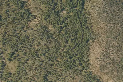
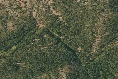
Aerial view · USGS / USDA NAIP · Public domain · source
At a glance
2 of 8 facts known · Forest Service data, checked Oct 3, 2026
- Elevation
- 5,676 ft (1,730 m)5,676 ft1,730 m
Amenities
You could be the first camper hereYou could be the first camper on this page
Stayed here? Share what the next camper should know.
Free account · no email needed to browse
About
Ponderosa pine trees surround and tower over open-space campgrounds, providing cool shade and gorgeous vistas. Most visitors enjoy taking advantage of the area's hiking trails and lakes, traveling to Payson for the day or simply relaxing at the campsite to the sound of fluttering leaves.
Natural Features: The ponderosa pine trees make this a memorable campground. Larger ponderosas release a vanilla scent into the air and have a relatively open understory, making the area perfect for camping. Mixed into the understory are junipers, oaks and manzanita shrubs. The campground sits on the border of the Mogollon Rim, pronounced by locals as ""muggy-own,"" a 200-mile-long cliff in northern Arizona that ranges between 5,000 and 7,000 feet in elevation. The unique landscape was created by extreme erosion and faulting that has sculpted spectacular canyons and buttes. The rim serves as the geographical dividing line between the cool high country above and the hot, dry desert below.
From OpenStreetMap and USFS INFRA Recreation Sites · · Edit
Cell service
Report signal- Verizon4G LTE
- AT&T4G LTE
- T-Mobile5G · 4G LTE
Cell service at Ponderosa Campground: FCC map Dec 2025
Weather
National Weather Service
- TueShowers And Thunderstorms, 77% chance of rain58°37°
- WedPatchy Fog then Sunny61°37°
- ThuSunny63°41°
- FriSunny, 11% chance of rain66°42°
- SatChance Rain Showers, 37% chance of rain60°40°
Nearby camping
SeeSee all on the map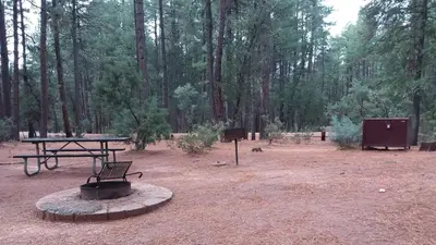
Ponderosa (Az)
Public Land · 150 ft · Tonto Village
Ponderosa Campground and Group Sites
Public Land · 0.3 mi · Tonto Village
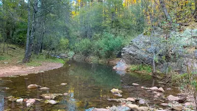
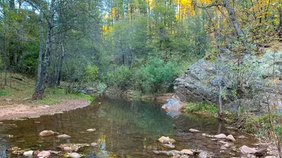
Lower Tonto Creek
Public Land · 2.5 mi · Kohls Ranch
3 more within 25 mi
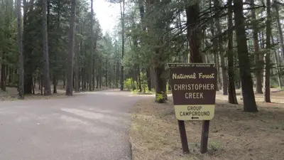
4 OpenStreetMap entries in Tonto Village share one park. They may be individual sites of a single campground. Suggest a merge
Dispersed camping nearby
Free dispersed camping within 19 mi, on public land.
- 7.9 mi
Fr 84 Camping Area
Christopher Creek, AZ
- 9.3 mi
Fr 9354
Christopher Creek, AZ
- 9.5 mi
Bear Canyon Lake and Camping Area
Christopher Creek, AZ
- 10 mi
Alderwood
Haigler Creek, AZ
- 14 mi
Camp site
Washington Park, AZ · On U.S. Forest Service land · Coconino National Forest
- 14 mi
Camp site
Washington Park, AZ · On U.S. Forest Service land · Coconino National Forest
Location and contact
Data from OpenStreetMap, USFS INFRA Recreation Sites
Something wrong here? Suggest an edit
Run this campground? Claim the listing