Platte River Campground
Crystal Downs Country Club, Michigan · 614 ft · In Sleeping Bear Dunes National Lakeshore
Photos: NPS Photo (J. Eggle)
At a glance
6 of 8 facts known · recreation.gov, checked Sep 24, 2026
- Elevation
- 614 ft (187 m)614 ft187 m
Loops4
Pick a loop to see its sites.
- Loop 142 sites42 standard · up to 40 ft
- Loop 222 sites22 standard · up to 35 ft
- Loop 326 sites26 standard · up to 35 ft
- Loop 451 sites51 standard · up to 35 ft
Other areas
From recreation.gov's site list, Oct 10, 2026: 8 staff entries left out. Loop names are trimmed and merged.
Other campgrounds in Sleeping Bear Dunes National Lakeshore 10
Nearest first. Every place inside the park's boundary.
- National Park Service Site C1Campground · facts not yet known0.5 mi
- National Park Service Site C4Campground · facts not yet known0.5 mi
- National Park Service Site C5Campground · facts not yet known0.5 mi
- National Park Service Site C1Campground · facts not yet known0.5 mi
- National Park Service Site C6Campground · facts not yet known0.5 mi
- National Park Service Site C3Campground · facts not yet known0.5 mi
Camped at National Park Service Site C1 or National Park Service Site C4?
Add sites, hookups and season so the next camper can choose the right loop.
Also in the park: 3 group areas · 6 backcountry and High Sierra camps · 1 single site
Open the park pageAmenities
From National Park Service — campgrounds, OpenStreetMap, Overture Maps Foundation — Places, Recreation.gov, Recreation.gov — campground rate cards · Correct
- Caravan / RV sites
- Drinking water
- Dump station
- Showers
- Showers
- Tent sites
- Toilets
From National Park Service — campgrounds, OpenStreetMap, Overture Maps Foundation — Places, Recreation.gov, Recreation.gov — campground rate cards
You could be the first camper hereYou could be the first camper on this page
Stayed here? Share what the next camper should know.
Free account · no email needed to browse
About
Overview
Platte River Campground is located in the southern district of Sleeping Bear Dunes National Lakeshore, on the lower peninsula of Michigan.
This year-round facility is one of the most popular campgrounds in the park. It is within walking distance of the Platte River and a short walk or drive away from the Lake Michigan shore. Hikers can access many of the area's day use and backpacking trails just north of the campground.
From National Park Service — campgrounds, OpenStreetMap, Overture Maps Foundation — Places, Recreation.gov, and Recreation.gov — campground rate cards · · Edit
Cell service
Report signal- Verizon4G LTE
- AT&T4G LTE
- T-Mobile5G · 4G LTE
Cell service at Platte River Campground: FCC map Dec 2025
Weather
National Weather Service
- WedPatchy Fog then Mostly Cloudy, 6% chance of rain59°40°
- ThuPatchy Fog then Chance Rain Showers, 52% chance of rain60°40°
- FriShowers And Thunderstorms, 92% chance of rain55°37°
- SatSunny, 3% chance of rain56°43°
- SunSunny61°48°
Nearby camping
SeeSee all on the mapOutside the park, nearest first.
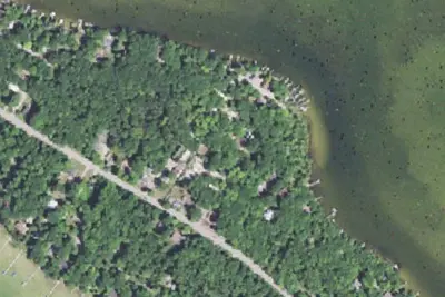
American Resort
RV Park · 2.6 mi · Honor
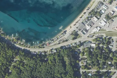
Camp site
Campground · 5.9 mi · Beulah
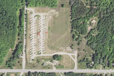
Frankfort Crystal Lake RV Resort
RV Park · 6.7 mi · Frankfort
3 more within 25 mi
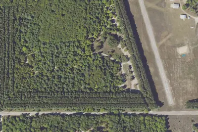
Dispersed camping nearby
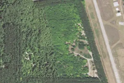
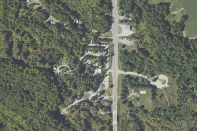
Free dispersed camping within 19 mi, on public land.
- 2.4 mi
Sleeping Bear National Lake Shore - White Pine Campground
Empire, MI · On National Park Service land · Sleeping Bear Dunes National Lakeshore
- 18 mi
Interlochen Duck Lake Modern Campground
Interlochen, MI · On State agency land · Interlochen State Park
- 19 mi
Interlochen Duck Lake Modern Campground
Interlochen, MI · On State agency land · Interlochen State Park
Location and contact
Data from National Park Service — campgrounds (NPS Data API), OpenStreetMap, Overture Maps Foundation — Places, Recreation Information Database (RIDB) / Recreation.gov, Recreation.gov — campground rate cards
Something wrong here? Suggest an edit
Run this campground? Claim the listing