Pinon Flats Campground
Mosca-Hooper, Colorado · 8,222 ft · In Great Sand Dunes National Park
Photos: Alvin Swanson - Share The Experience Photo Contest
Wildfire 27 mi NE: Aspen Acres, 102,007 acres, 90% contained
At a glance
5 of 8 facts known · recreation.gov, checked Oct 3, 2026
- Elevation
- 8,222 ft (2,506 m)8,222 ft2,506 m
Loops2
Pick a loop to see its sites.
- Loop 142 sites24 standard · 18 tent only · up to 30 ft
- Loop 244 sites28 standard · 16 tent only · up to 35 ft
Other areas
From recreation.gov's site list, Oct 10, 2026: 1 staff entry left out. Loop names are trimmed and merged.
Other campgrounds in Great Sand Dunes National Park 2
Nearest first. Every place inside the park's boundary.
- Backpacking Campsites in the Dunes or Forest27 sites · $6 a night · Reserve on Recreation.gov2.8 mi
- Medano Pass Primitive Road Campsites21 sites · Free4.1 mi
Also in the park: 1 backcountry camp · 1 single site
Open the park pageAmenities
From National Park Service — campgrounds, OpenStreetMap, Overture Maps Foundation — Places, Recreation.gov, Recreation.gov — campground rate cards · Correct
- Caravan / RV sites
- Drinking water
- Tent sites
- Toilets
From National Park Service — campgrounds, OpenStreetMap, Overture Maps Foundation — Places, Recreation.gov, Recreation.gov — campground rate cards
You could be the first camper hereYou could be the first camper on this page
Stayed here? Share what the next camper should know.
Free account · no email needed to browse
About
Overview
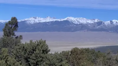
Great Sand Dunes National Park and Preserve is in the San Luis Valley of south-central Colorado at an elevation of 8,175 feet. The dunes lie on the eastern edge of the valley at the base of the Sangre de Cristo Range. The dunefield is part of the nearly 150,000 total acres of the park and preserve that also protects alpine lakes, tundra, six peaks over 13,000 feet, ancient spruce and pine forests, large stands of aspen and cottonwood, grasslands, and wetlands. The park is part of a fragile, dynamic system that influences and sustains the tallest dunes in North America.
President Herbert Hoover established the park unit as a national monument by presidential proclamation on March 17, 1932 through the Antiquities Act. The Works Progress Administration constructed the Superintendent’s Residence, now listed on the National Register of Historic Places. But otherwise, GRSA did not see a great deal of development during the New Deal. Park development did not occur in earnest until Mission 66.
From National Park Service — campgrounds, OpenStreetMap, Overture Maps Foundation — Places, Recreation.gov, and Recreation.gov — campground rate cards · · Edit
Cell service
Report signal- Verizon4G LTE
- AT&T5G · 4G LTE
- T-MobileNo coverage on FCC map
Cell service at Pinon Flats Campground: FCC map Dec 2025
Weather
National Weather Service
- TueSlight Chance Showers And Thunderstorms, 22% chance of rain61°38°
- WedShowers And Thunderstorms, 77% chance of rain52°28°
- ThuMostly Sunny, 13% chance of rain55°26°
- FriSunny, 1% chance of rain55°30°
- SatSunny, 3% chance of rain58°34°
Nearby camping
SeeSee all on the mapOutside the park, nearest first.
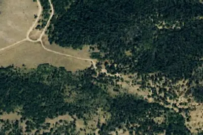
Camp site
Dispersed · 3.1 mi · Gardner
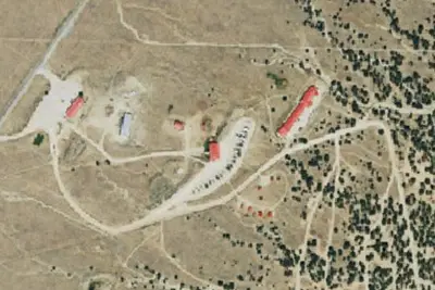
Great Sand Dunes Oasis
RV Park · 4.2 mi · Mosca-Hooper
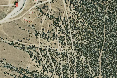
Oasis Campground
Campground · 4.2 mi · Mosca-Hooper
3 more within 25 mi
Dispersed camping nearby
Free dispersed camping within 19 mi, on public land.
- 3.1 mi
Camp site
Gardner, CO · On U.S. Forest Service land · San Isabel National Forest
- 4.0 mi
Little Medano Campsite
Saguache, CO · On National Park Service land · Great Sand Dunes National Park
- 8.3 mi
Camp site
Gardner, CO · On National Park Service land · Great Sand Dunes National Preserve
- 9.5 mi
Camp site
Gardner, CO · On U.S. Forest Service land · San Isabel National Forest
- 9.7 mi
Medano
Gardner, CO
- 9.7 mi
Camp site
Gardner, CO · On U.S. Forest Service land · San Isabel National Forest
Location and contact
Data from National Park Service — campgrounds (NPS Data API), OpenStreetMap, Overture Maps Foundation — Places, Recreation Information Database (RIDB) / Recreation.gov, Recreation.gov — campground rate cards
Something wrong here? Suggest an edit
Run this campground? Claim the listing