Pine Valley Recreation Area
Pine Valley, Utah · 6,785 ft · In Dixie National Forest
Photos: Dixie National Forest S. Liermann
At a glance
6 of 8 facts known · recreation.gov, checked Sep 24, 2026
- Elevation
- 6,785 ft (2,068 m)6,785 ft2,068 m
Loops3
Pick a loop to see its sites.
- Crackfoot23 sites18 standard · 5 tent only · up to 58 ft
- DEAN GARDNER25 sites25 standard · up to 52 ft
- Yellow Pine6 sites6 standard · up to 45 ft
Other areas
From recreation.gov's site list, Oct 10, 2026: 1 staff entry left out. Loop names are trimmed and merged.
Amenities
From Overture Maps Foundation — Places, Recreation.gov, Recreation.gov — campground rate cards, USDA Forest Service — Recreation Opportunities, USFS INFRA Recreation Sites · Correct
- ADA accessible
- Campfires allowed
- Drinking water
- Dump station
- Toilets
- Trash / dumpster
From Overture Maps Foundation — Places, Recreation.gov, Recreation.gov — campground rate cards, USDA Forest Service — Recreation Opportunities, USFS INFRA Recreation Sites
You could be the first camper hereYou could be the first camper on this page
Stayed here? Share what the next camper should know.
Free account · no email needed to browse
About
Overview
A location closure has been issued due to a wildfire that started by lightning, the facility is closed at this time. The area and facilities are under rehabilitation and closed to the public. Please consider visiting one of our many other amazing campgrounds on the Dixie National Forest including Duck Creek, Spruces, Navajo Lake, Te-Ah, Panguitch Lake and many more, Please see other locations on Recreation.gov or visit the Dixie National Forest webpage for additional details https://www.fs.usda.gov/r04/dixie . Please check back for location closure updates.
Pine Valley Recreation Area is situated in a beautiful valley surrounded by the Pine Valley Mountains. There are several campgrounds with sites for single families, large groups, motor-homes, and horses. At an elevation of 6,900 feet the valley offers a great escape from the heat of the Southern Utah desert. Visitors enjoy fishing at nearby Pine Valley Reservoir and exploring local trails.
From Overture Maps Foundation — Places, Recreation.gov, Recreation.gov — campground rate cards, USDA Forest Service — Recreation Opportunities, and USFS INFRA Recreation Sites · · Edit
Cell service
Report signal- VerizonNo coverage on FCC map
- AT&T4G LTE
- T-MobileNo coverage on FCC map
Cell service at Pine Valley Recreation Area: FCC map Dec 2025
Weather
National Weather Service
- TueSnow Showers, 77% chance of rain38°32°
- WedSunny, 3% chance of rain45°36°
- ThuSunny51°39°
- FriSunny57°42°
- SatSunny, 2% chance of rain55°40°
Nearby camping
SeeSee all on the map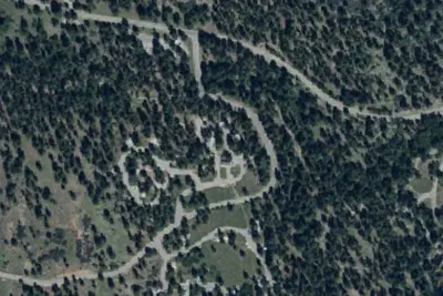
Effie Beckstrom East Site
Campground · 440 ft · Pine Valley
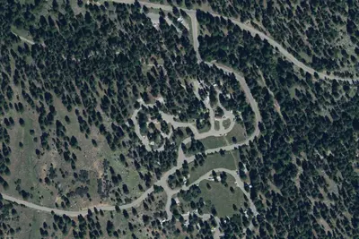
Effie Beckstrom Group Campgrounds
Public Land · 450 ft · Pine Valley
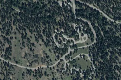
Effie Beckstrom West Site
Campground · 0.1 mi · Pine Valley
3 more within 25 mi
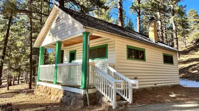
3 OpenStreetMap entries in Pine Valley share one park. They may be individual sites of a single campground. Suggest a merge
Dispersed camping nearby
Free dispersed camping within 19 mi, on public land.
- 8.4 mi
Leeds Canyon Dispersed Camping #7/#8
Leeds, UT · On U.S. Forest Service land · Dixie National Forest
- 8.8 mi
Leeds Canyon Dispersed Camping #6
Leeds, UT · On U.S. Forest Service land · Dixie National Forest
- 9.1 mi
Leeds Canyon Dispersed Camping
Leeds, UT · On U.S. Forest Service land · Dixie National Forest
- 12 mi
Camp site
Toquerville, UT · On Bureau of Land Management land · St. George Field Office
- 13 mi
Camp site
Toquerville, UT · On Bureau of Land Management land · St. George Field Office
- 13 mi
Camp site
Toquerville, UT · On Bureau of Land Management land · St. George Field Office
Location and contact
Data from Overture Maps Foundation — Places, Recreation Information Database (RIDB) / Recreation.gov, Recreation.gov — campground rate cards, USDA Forest Service — Recreation Opportunities, USFS INFRA Recreation Sites
Something wrong here? Suggest an edit
Run this campground? Claim the listing