Pine Creek Campground
Round Mountain, Nevada · 7,631 ft
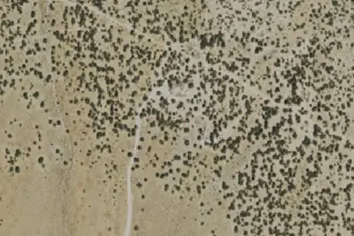
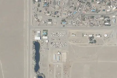
Photos: USGS / USDA NAIP
At a glance
3 of 8 facts known · Forest Service data, checked Oct 3, 2026
- Elevation
- 7,631 ft (2,326 m)7,631 ft2,326 m
- Land
- Toiyabe National Forest
U.S. Forest Service
Amenities
You could be the first camper hereYou could be the first camper on this page
Stayed here? Share what the next camper should know.
Free account · no email needed to browse
About
Situated on the eastern side of the Toquima Mountain Range in the Monitor Valley. Fishing in Peavine Creek. Two trailheads with access to Arc Dome Wilderness at the end of Forest Road 020. The trail from Peavine trailhead leads up Peavine Canyon to connect with the Toiyabe Crest tiol Recreation Trail. The trail from Toms Canyon follows Toms Creek to the Toiyabe Crest tiol Recreation Trail. Hiking: trails lead to Mt. Jefferson in the Alta Toquima Wilderness Area and also to Arc Dome Wilderness. Places to visit are Arc Dome Wilderness, Alta Toquima Wilderness Area, Dia 's Punch Bowl, the towns of Belmont and Manhattan. Pets should be kept on leash. 21 units and 1 group.
Fees: No fees are required for this site
From OpenStreetMap, USDA Forest Service — Recreation Opportunities, and USFS INFRA Recreation Sites · Edit
Cell service
Report signalFCC map: no coverage reported
- VerizonNo coverage on FCC map
- AT&TNo coverage on FCC map
- T-MobileNo coverage on FCC map
Cell service at Pine Creek Campground: FCC map Dec 2025
Weather
National Weather Service
- WedSunny54°35°
- ThuSunny61°37°
- FriSunny62°40°
- SatSunny62°41°
- SunSunny62°42°
Nearby camping
SeeSee all on the map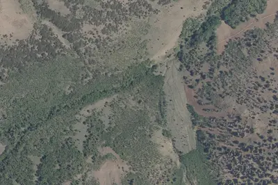
Dispersed camping nearby
Free dispersed camping within 19 mi, on public land.
Location and contact
Data from OpenStreetMap, USDA Forest Service — Recreation Opportunities, USFS INFRA Recreation Sites
Something wrong here? Suggest an edit
Run this campground? Claim the listing