Panther Bay Park
Henderson, Arkansas · 636 ft · In Norfork Recreation Area
Aerial view · USGS / USDA NAIP · Public domain · source
At a glance
6 of 8 facts known · recreation.gov, checked Sep 24, 2026
- Elevation
- 636 ft (194 m)636 ft194 m
Sites15
Panther Bay Park lists no loops, so its sites are listed here. Pick a site to see its details.
- 8Standard · accessible · up to 10 people28 ft
- 9Standard · accessible · up to 10 people40 ft
- 10Standard · accessible · up to 10 people50 ft
- 11Standard · accessible · up to 10 people64 ft
- 12Standard · accessible · up to 10 people40 ft
- 13Standard · accessible · up to 10 people40 ft
- 14Standard · accessible · up to 10 people48 ft
- 15Standard · accessible · up to 10 people55 ft
- 16Standard · accessible · up to 10 people
- 17Standard · accessible · up to 10 people48 ft
Showing 10 of 15 · by site number
From recreation.gov's site list, Oct 10, 2026: 1 staff entry left out.
Other campgrounds in Norfork Recreation Area 9
Nearest first. Every place inside the park's boundary.
- Henderson Park$22–$24 a night · partial hookups · Reserve on Recreation.gov1.1 mi
- Bidwell Point Park$24–$26 a night · partial hookups · Reserve on Recreation.gov1.3 mi
- Robinson Point$22–$40 a night · partial hookups · Reserve on Recreation.gov1.4 mi
- South Robinson PointCampground · facts not yet known1.4 mi
- Gamaliel$22–$26 a night · partial hookups · Reserve on Recreation.gov3.8 mi
- Cranfield Park$16–$26 a night · partial hookups · Reserve on Recreation.gov4.6 mi
Also in the park: 1 single site
Open the park pageAmenities
From Overture Maps Foundation — Places, Recreation.gov, Recreation.gov — campground rate cards · Correct
- Campfires allowed
- Drinking water
From Overture Maps Foundation — Places, Recreation.gov, Recreation.gov — campground rate cards
You could be the first camper hereYou could be the first camper on this page
Stayed here? Share what the next camper should know.
Free account · no email needed to browse
About
Overview
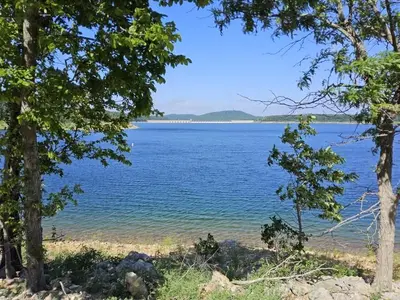
Panther Bay is conveniently located between the Highway 62 and 101 bridges allowing quick and easy access to several hiking trails, marinas, and boat ramps.
Recreation
Hiking trails in the area lead nature observers and photographers to picturesque overlooks of the Ozarks. A wide array of fresh water game fish are found in the lake, which is fed by the North Fork River and its tributaries. Bass, walleye, crappie, bream and catfish all make their home here.
From Overture Maps Foundation — Places, Recreation.gov, and Recreation.gov — campground rate cards · · Edit
Cell service
Report signal- Verizon5G · 4G LTE
- AT&T5G · 4G LTE
- T-Mobile5G · 4G LTE
Cell service at Panther Bay Park: FCC map Dec 2025
Weather
National Weather Service
- WedChance Showers And Thunderstorms, 78% chance of rain85°68°
- ThuSlight Chance Showers And Thunderstorms, 20% chance of rain88°56°
- FriSlight Chance Rain Showers then Mostly Sunny, 22% chance of rain64°41°
- SatSunny65°41°
- SunSunny70°48°
Nearby camping
SeeSee all on the mapOutside the park, nearest first.
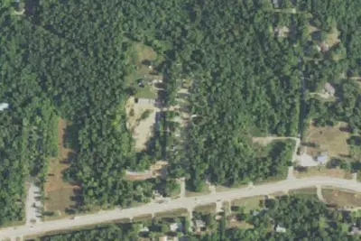
RV park
RV Park · 2.1 mi · Henderson
Walmart · Mountain Home
Overnight Parking · 5.1 mi · Mountain Home
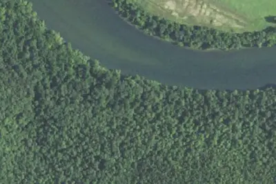
Camp Matney
Dispersed · 12 mi · Norfork
3 more within 25 mi
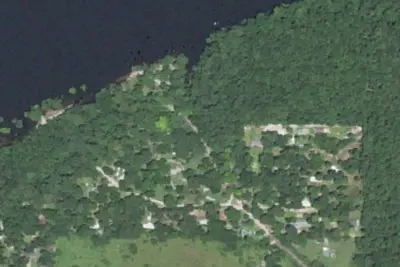
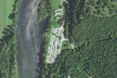
Dispersed camping nearby
Free dispersed camping within 19 mi, on public land.
Location and contact
Data from Overture Maps Foundation — Places, Recreation Information Database (RIDB) / Recreation.gov, Recreation.gov — campground rate cards
Something wrong here? Suggest an edit
Run this campground? Claim the listing