Palisade Campground
South Fork, Colorado · 8,360 ft
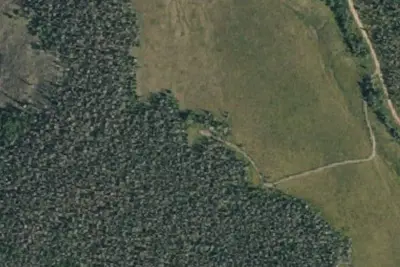
Aerial view · USGS / USDA NAIP · Public domain · source
Wildfire 37 mi NW: Elk, 7,257 acres, 90% contained
At a glance
3 of 8 facts known · Forest Service data, checked Oct 3, 2026
- Elevation
- 8,360 ft (2,548 m)8,360 ft2,548 m
- Land
- Rio Grande National Forest
U.S. Forest Service
Amenities
You could be the first camper hereYou could be the first camper on this page
Stayed here? Share what the next camper should know.
Free account · no email needed to browse
About
Located right on the Rio Grande River, this is the only campground in the canyon between Creede and South Fork. It is located adjacent to Colorado Highway 149 for easy access to travelers passing through. Active railroad tracks bisect the campground. Highway 149 runs along the northeast side of the campground and there is no screening between the two. There is some highway traffic year-around and occasionally a scenic railroad excursion passes through the campground. Some of the 12 sites are out in the open, while other sites are screened with cottonwoods/aspen/spruce/fir. Firewood is not provided but may be gathered on Forest lands in the area. There is ample overflow parking near the entrance sign. A host is usually stationed at the campground. Fishing, and rafting are popular on the river. This is a popular area and heavily used in the summer. It tends to stay full from mid-June through August. Early afternoon arrival is recommended.
Fees: Day Use:
From OpenStreetMap, USDA Forest Service — Recreation Opportunities, and USFS INFRA Recreation Sites · · Edit
Cell service
Report signalFCC map: no coverage reported
- VerizonNo coverage on FCC map
- AT&TNo coverage on FCC map
- T-MobileNo coverage on FCC map
Cell service at Palisade Campground: FCC map Dec 2025
Weather
National Weather Service
- WedRain And Snow Showers then Slight Chance T-storms, 87% chance of rain43°22°
- ThuMostly Sunny, 5% chance of rain46°24°
- FriSunny, 2% chance of rain47°27°
- SatMostly Sunny, 8% chance of rain50°31°
- SunPartly Sunny then Slight Chance Rain Showers, 18% chance of rain50°30°
Nearby camping
SeeSee all on the map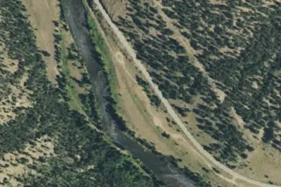
Camp site
Dispersed · 0.5 mi · South Fork
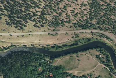
Camp site
Campground · 0.9 mi · South Fork
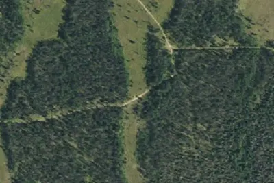
Camp site
Dispersed · 1.7 mi · South Fork
3 more within 25 mi
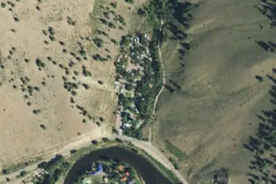
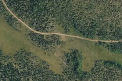
4 OpenStreetMap entries in South Fork share one park. They may be individual sites of a single campground. Suggest a merge
Dispersed camping nearby
Free dispersed camping within 19 mi, on public land.
- 0.5 mi
Camp site
South Fork, CO · On U.S. Forest Service land · Rio Grande National Forest
- 1.7 mi
Camp site
South Fork, CO · On U.S. Forest Service land · Rio Grande National Forest
- 3.0 mi
Camp site
South Fork, CO · On U.S. Forest Service land · Rio Grande National Forest
- 3.1 mi
Camp site
South Fork, CO · On U.S. Forest Service land · Rio Grande National Forest
- 4.3 mi
Camp site
South Fork, CO · On U.S. Forest Service land · Rio Grande National Forest
- 4.4 mi
Camp site
South Fork, CO · On U.S. Forest Service land · Rio Grande National Forest
Location and contact
Data from OpenStreetMap, USDA Forest Service — Recreation Opportunities, USFS INFRA Recreation Sites
Something wrong here? Suggest an edit
Run this campground? Claim the listing