Painted Rock Petroglyph Campground
Gila Bend, Arizona · 587 ft · In Lower Sonoran Field Office
Photos: Eschow
Photos taken nearby
From Wikimedia Commons, taken close to this campground — not necessarily pictures of it.
At a glance
4 of 8 facts known · recreation.gov, checked Oct 3, 2026
- Elevation
- 587 ft (179 m)587 ft179 m
Loops3
Pick a loop to see its sites.
From recreation.gov's site list, Oct 10, 2026: 2 staff entries left out. Loop names are trimmed and merged.
How we name loops
“Inner Loop” is a staff entry, not a campsite, and is left out.
Amenities
From BLM National Recreation Sites & Facilities, Recreation.gov, Recreation.gov — campground rate cards · Correct
- ADA accessible
- Campfires allowed
- Toilets
From BLM National Recreation Sites & Facilities, Recreation.gov, Recreation.gov — campground rate cards
You could be the first camper hereYou could be the first camper on this page
Stayed here? Share what the next camper should know.
Free account · no email needed to browse
About
Overview
Painted Rock Petroglyph Site, approximately 90 miles southwest of Phoenix, Arizona, provides visitors the opportunity to view an archaeological site containing hundreds of figures and designs carved into rocks, known as petroglyphs. These were produced centuries ago by indigenous peoples. This site is considered important and even sacred to many of the Native American tribes in southern Arizona. Please keep this in mind when you visit and be respectful. Climbing on the rocks is prohibited and we ask that you keep dogs out of the area.There are also inscriptions made by people who passed through during historic times.
Many important trails are near the site, some of which have been traveled for thousands of years. The 1775 expedition of Juan Bautista de Anza passed nearby on his way to deliver soldiers, padres, settlers, and their livestock to a new home in northern California to secure the area for Spain. In 1846, the Mormon Battalion passed through, following Philip St. George Cooke along some segments of this trail to help secure California from Mexico. This venture included road building tasks along the trail, assuring that future trips could accommodate wagons. A need to improve communication and travel from east to west prompted Congress to fund a stage line. The result was the Butterfield Overland Stage Route, which began service in 1858 and traveled by this site. This mail and freight service guaranteed that the mail, freight, or passengers would be able to travel from Saint Louis to San Francisco in 25 days. Use was halted when the railroad was constructed in 1879.
From BLM National Recreation Sites & Facilities, Recreation.gov, and Recreation.gov — campground rate cards · · Edit
Cell service
Report signal- Verizon4G LTE
- AT&T4G LTE
- T-MobileNo coverage on FCC map
Cell service at Painted Rock Petroglyph Campground: FCC map Dec 2025
Weather
National Weather Service
- WedSunny77°55°
- ThuSunny83°66°
- FriSunny then Slight Chance Rain Showers, 15% chance of rain84°65°
- SatSlight Chance Rain Showers, 20% chance of rain78°63°
- SunSunny, 1% chance of rain83°63°
Nearby camping
SeeSee all on the map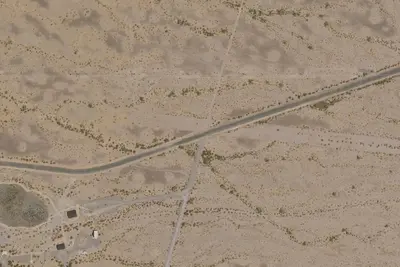
Painted Rock Petroglyph Site and Campground
Public Land · under 100 ft · Gila Bend
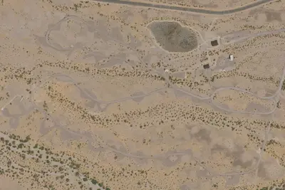
Painted Rock
Public Land · 0.3 mi · Gila Bend
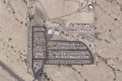
Gila Bend FamCamp
Campground · 21 mi · Gila Bend
1 more within 25 mi
Location and contact
Data from BLM National Recreation Sites & Facilities, Recreation Information Database (RIDB) / Recreation.gov, Recreation.gov — campground rate cards
Something wrong here? Suggest an edit
Run this campground? Claim the listing