Olive Lake Campground (OR)
Greenhorn, Oregon · 6,030 ft · In Umatilla National Forest
Photos: US Forest Service
Wildfire 14 mi E: McCully, 13,604 acres, 91% contained
At a glance
5 of 8 facts known · recreation.gov, checked Sep 24, 2026
- Elevation
- 6,030 ft (1,838 m)6,030 ft1,838 m
Sites28
Olive Lake Campground (OR) lists no loops, so its sites are listed here. Pick a site to see its details.
- 1Tent only · up to 8 peopleTents only
- 2Tent only · up to 8 peopleTents only
- 3Tent only · up to 8 peopleTents only
- 4Standard · up to 8 people
- 5Standard · up to 8 people
- 6Standard · up to 8 people
- 7Standard · up to 8 people
- 8Standard · up to 8 people
- 9Standard · accessible · up to 8 people
- 10Standard · accessible · up to 8 people
Showing 10 of 28 · by site number
From recreation.gov's site list, Oct 10, 2026.
Amenities
From OpenStreetMap, Recreation.gov, Recreation.gov — campground rate cards, USDA Forest Service — Recreation Opportunities, USFS INFRA Recreation Sites · Correct
- Campfires allowed
From OpenStreetMap, Recreation.gov, Recreation.gov — campground rate cards, USDA Forest Service — Recreation Opportunities, USFS INFRA Recreation Sites
You could be the first camper hereYou could be the first camper on this page
Stayed here? Share what the next camper should know.
Free account · no email needed to browse
About
Overview
Nestled on the edge of a lake, high in the Blue Mountains of Eastern Oregon, this popular campground is only 8 miles west of the historic Fremont Powerhouse and 12 miles west of the old mining town of Granite. The campground features 28 campsites and 7 accessible toilet facilities. Other features include a 2-mile hiking trail around the lake with nearby access to wilderness and scenic area trails, a boat ramp and 2 docks.
Besides beautiful scenery, the lake offers many opportunities for wildlife viewing--particularly a nesting pair of osprey that return annually. Activities in this area include fishing, boating, swimming, hiking, hunting, and photography. Within 20 miles are several historic sites.
From OpenStreetMap, Recreation.gov, Recreation.gov — campground rate cards, USDA Forest Service — Recreation Opportunities, and USFS INFRA Recreation Sites · · Edit
Cell service
Report signalFCC map: no coverage reported
- VerizonNo coverage on FCC map
- AT&TNo coverage on FCC map
- T-MobileNo coverage on FCC map
Cell service at Olive Lake Campground (OR): FCC map Dec 2025
Weather
National Weather Service
- WedMostly Sunny, 1% chance of rain54°35°
- ThuSunny61°42°
- FriSunny60°40°
- SatMostly Sunny59°33°
- SunSunny, 1% chance of rain57°36°
Nearby camping
SeeSee all on the map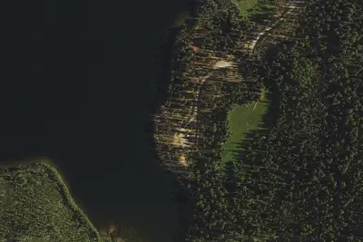
Camp site
Campground · 0.3 mi · Greenhorn
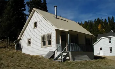
Fremont Hilltop Hideaway Cabin
Other · 4.8 mi · Granite
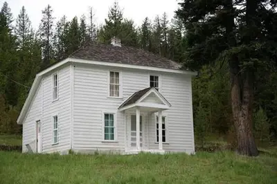
Fremont Miner's Retreat Cabin
Other · 4.9 mi · Granite
3 more within 25 mi
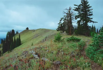
Dispersed camping nearby
Free dispersed camping within 19 mi, on public land.
Location and contact
Data from OpenStreetMap, Recreation Information Database (RIDB) / Recreation.gov, Recreation.gov — campground rate cards, USDA Forest Service — Recreation Opportunities, USFS INFRA Recreation Sites
Something wrong here? Suggest an edit
Run this campground? Claim the listing