Ohaver Lake
Poncha Springs, Colorado · 9,167 ft · In Pike and San Isabel National Forests & Cimarron and Comanche National Grasslands
Photos: Salida Ranger District
At a glance
5 of 8 facts known · recreation.gov, checked Sep 24, 2026
- Elevation
- 9,167 ft (2,794 m)9,167 ft2,794 m
Sites32
Ohaver Lake lists no loops, so its sites are listed here. Pick a site to see its details.
- 001Standard · up to 8 people
- 002Standard · up to 8 people
- 003Standard · up to 8 people
- 004Standard · up to 8 people
- 005Standard · up to 8 people
- 006Standard · up to 8 people
- 007Standard · up to 8 people
- 008Standard · up to 8 people
- 009Standard · up to 8 people
- 010Standard · up to 8 people
Showing 10 of 32 · by site number
From recreation.gov's site list, Oct 10, 2026.
Amenities
From Recreation.gov, Recreation.gov — campground rate cards, USDA Forest Service — Recreation Opportunities, USFS INFRA Recreation Sites · Correct
- Campfires allowed
From Recreation.gov, Recreation.gov — campground rate cards, USDA Forest Service — Recreation Opportunities, USFS INFRA Recreation Sites
You could be the first camper hereYou could be the first camper on this page
Stayed here? Share what the next camper should know.
Free account · no email needed to browse
About
Overview
The Forest Service wants your opinion on reserving sites at O’Haver Lake Campground. Please take a moment to fill out a brief survey at: https://forms.office.com/g/zFknf0tZbS
O'Haver Lake Campground sits at an elevation of 9,200 feet, with ponderosa pines and aspen. It is located on the shores of O'Haver Lake. This facility has 31 sites and is a very popular destination that is often full on the weekends. "First come, first served" does not necessarily mean that the site will be available when you get there. Someone may get there before you. This is a popular campground and is normally full starting on Friday, sometimes as early as Thursday, so plan accordingly.
From Recreation.gov, Recreation.gov — campground rate cards, USDA Forest Service — Recreation Opportunities, and USFS INFRA Recreation Sites · · Edit
Cell service
Report signalFCC map: no coverage reported
- VerizonNo coverage on FCC map
- AT&TNo coverage on FCC map
- T-MobileNo coverage on FCC map
Cell service at Ohaver Lake: FCC map Dec 2025
Weather
National Weather Service
- WedShowers And Thunderstorms, 93% chance of rain42°29°
- ThuMostly Sunny, 12% chance of rain43°26°
- FriSunny, 2% chance of rain46°30°
- SatSunny, 1% chance of rain52°35°
- SunMostly Sunny, 12% chance of rain50°34°
Nearby camping
SeeSee all on the map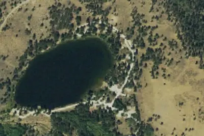
O'Haver Campground
Public Land · 430 ft · Poncha Springs
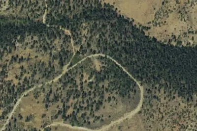
Camp site
Dispersed · 0.5 mi · Poncha Springs
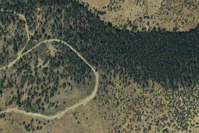
Camp site
Dispersed · 0.6 mi · Poncha Springs
3 more within 25 mi
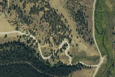
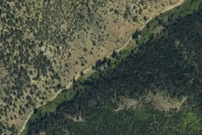
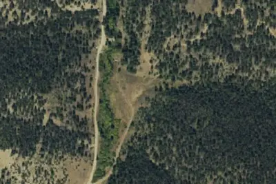
6 OpenStreetMap entries in Poncha Springs share one park. They may be individual sites of a single campground. Suggest a merge
Dispersed camping nearby
Free dispersed camping within 19 mi, on public land.
- 0.5 mi
Camp site
Poncha Springs, CO · On U.S. Forest Service land · San Isabel National Forest
- 0.6 mi
Camp site
Poncha Springs, CO · On U.S. Forest Service land · San Isabel National Forest
- 0.7 mi
Marshall Pass Dispersed Campground
Poncha Springs, CO · On U.S. Forest Service land · San Isabel National Forest
- 1.0 mi
Camp site
Poncha Springs, CO · On U.S. Forest Service land · San Isabel National Forest
- 2.0 mi
Camp site
Bonanza, CO · On U.S. Forest Service land · San Isabel National Forest
- 2.9 mi
Poncha Pass Dispersed Campground
Poncha Springs, CO · On Bureau of Land Management land · San Luis Valley Field Office
Location and contact
Data from Recreation Information Database (RIDB) / Recreation.gov, Recreation.gov — campground rate cards, USDA Forest Service — Recreation Opportunities, USFS INFRA Recreation Sites
Something wrong here? Suggest an edit
Run this campground? Claim the listing