Oak Bottom Campground
Happy Camp, California · 755 ft · In Six Rivers National Forest
Photos: Wendy Rickwalt SRF OR/UK
At a glance
6 of 8 facts known · recreation.gov, checked Sep 24, 2026
- Elevation
- 755 ft (230 m)755 ft230 m
Sites25
Oak Bottom Campground lists no loops, so its sites are listed here. Pick a site to see its details.
- 001Standard · up to 8 people25 ft
- 003Standard · up to 8 people38 ft
- 004Standard · up to 8 people23 ft
- 005Standard · up to 8 people38 ft
- 006Standard · up to 8 people25 ft
- 007Standard · up to 8 people28 ft
- 008Standard · up to 8 people35 ft
- 009Standard · up to 8 people32 ft
- 010Standard · up to 8 people30 ft
- 011Standard · up to 8 people28 ft
Showing 10 of 25 · by site number
From recreation.gov's site list, Oct 10, 2026.
Amenities
From OpenStreetMap, Recreation.gov, Recreation.gov — campground rate cards, USFS INFRA Recreation Sites · Correct
- Drinking water
- Hours (may 15-oct 15)
From OpenStreetMap, Recreation.gov, Recreation.gov — campground rate cards, USFS INFRA Recreation Sites
You could be the first camper hereYou could be the first camper on this page
Stayed here? Share what the next camper should know.
Free account · no email needed to browse
About
Overview
PLEASE NOTE THIS IS NOT OAK BOTTOM CAMPGROUND AT WHISKEYTOWN LAKE. FOR THAT SITE NEAR REDDING, CALL 530-359-2269
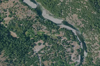
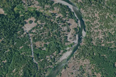
Open from mid-May through mid-October, this Oak Bottom Campground is on the Salmon River at Somes Bar, California. It is situated on a shaded and gently sloping hillside in the expansive Six Rivers and Klamath National Forests, far from highway noise and city distractions. NEW: Each reservable campsite now has its own bear-resistant food storage locker, as do most of the first-come first-served campsites. Campsite List calendar starts at the next available reservation dates.
From OpenStreetMap, Recreation.gov, Recreation.gov — campground rate cards, and USFS INFRA Recreation Sites · · Edit
Cell service
Report signalFCC map: no coverage reported
- VerizonNo coverage on FCC map
- AT&TNo coverage on FCC map
- T-MobileNo coverage on FCC map
Cell service at Oak Bottom Campground: FCC map Dec 2025
Weather
National Weather Service
- WedSunny, 1% chance of rain89°49°
- ThuSunny94°49°
- FriSunny97°49°
- SatSunny86°45°
- SunSunny80°41°
Nearby camping
SeeSee all on the map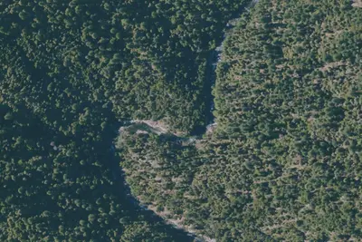
Camp site
Dispersed · 2.4 mi · Happy Camp
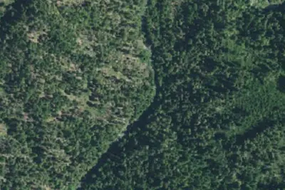
Camp site
Dispersed · 5.8 mi · Etna
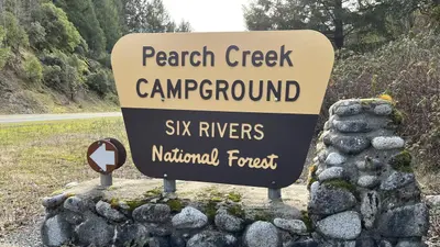
Pearch Creek Campground
Public Land · 5.9 mi · Weitchpec
3 more within 25 mi
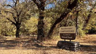
Dispersed camping nearby
Free dispersed camping within 19 mi, on public land.
- 2.4 mi
Camp site
Happy Camp, CA · On U.S. Forest Service land · Klamath National Forest
- 5.8 mi
Camp site
Etna, CA · On U.S. Forest Service land · Klamath National Forest
- 9.1 mi
Camp site
Happy Camp, CA · On U.S. Forest Service land · Klamath National Forest
- 9.4 mi
Louse Camp
Weitchpec, CA
- 9.8 mi
Bear Skull Camp
Happy Camp, CA · On U.S. Forest Service land · Klamath National Forest
- 11 mi
Patrick Creek Camps
Happy Camp, CA
Location and contact
Data from OpenStreetMap, Recreation Information Database (RIDB) / Recreation.gov, Recreation.gov — campground rate cards, USFS INFRA Recreation Sites
Something wrong here? Suggest an edit
Run this campground? Claim the listing