North Fork Recreation Area
South Fork, Missouri · 728 ft
Photos: USGS / USDA NAIP
At a glance
3 of 8 facts known · Forest Service data, checked Oct 3, 2026
- Elevation
- 728 ft (222 m)728 ft222 m
- Land
- Mark Twain National Forest
U.S. Forest Service
Amenities
You could be the first camper hereYou could be the first camper on this page
Stayed here? Share what the next camper should know.
Free account · no email needed to browse
About
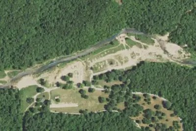
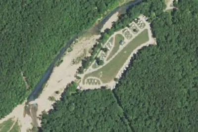
North Fork Recreation Area provides camping, picnicking, boating, canoeing, hiking and fishing access to the beautiful North Fork of the White River, which has a total of nine major springs flowing into it. As you drive into the site, the first right takes you to the boat access area. If you go straight you'll hit a t-intersection, if you go left you enter the campground, if you go right you enter the day use. The site is surrounded by an oak/hickory forest, there are a lot of tulip poplar and sycamore in that area. From the day use area, and sometimes the campground, you have amazing views looking across the river of the mixed hardwood and pine forest and the rock bluffs that envelope the river. On the other side of the river is the beginning of the Devils Backbone Wilderness Area. Some sites have views of the river before trees and bushes leaf out. North Fork Recreation Area serves as trailhead for the 35-mile long Ridge Runner National Recreation Trail and the Blue Spring Trail. There are multiple springs that contribute to the river, one of the largest is Blue Spring, which contributes around 7 million gallons of cold, clear water every day to the river. Near North Fork, from the river you can paddle up into Blue Spring or hike the Blue Spring Trail. The spring is about 30 feet in diameter. One three sides, the stone wall is made of cherty Gasconade dolomite that surrounds the spring and represents the karst topography of Ozarks.
Fees: Overnight Use:
From OpenStreetMap, Overture Maps Foundation — Places, USDA Forest Service — Recreation Opportunities, and USFS INFRA Recreation Sites · · Edit
Cell service
Report signalFCC map: no coverage reported
- VerizonNo coverage on FCC map
- AT&TNo coverage on FCC map
- T-MobileNo coverage on FCC map
Cell service at North Fork Recreation Area: FCC map Dec 2025
Weather
National Weather Service
- WedScattered Showers And Thunderstorms, 80% chance of rain84°67°
- ThuChance Showers And Thunderstorms, 35% chance of rain88°51°
- FriSlight Chance Rain Showers then Mostly Sunny, 20% chance of rain63°37°
- SatPatchy Frost then Sunny65°38°
- SunSunny71°45°
Nearby camping
SeeSee all on the map
Camp site
Dispersed · 3.2 mi · West Plains
Camp site
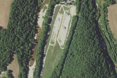
Campground · 3.4 mi · Pomona
Camp site
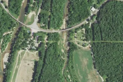
Campground · 3.6 mi · Pomona
3 more within 25 mi
Dispersed camping nearby
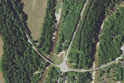
Free dispersed camping within 19 mi, on public land.
Location and contact
Data from OpenStreetMap, Overture Maps Foundation — Places, USDA Forest Service — Recreation Opportunities, USFS INFRA Recreation Sites
Something wrong here? Suggest an edit
Run this campground? Claim the listing