Natural Bridges Campground
Blanding, Utah · 6,473 ft · In Natural Bridges National Monument
Photos: NPS Photo (Andrew Kuhn)
At a glance
5 of 8 facts known · recreation.gov, checked Sep 24, 2026
- Elevation
- 6,473 ft (1,973 m)6,473 ft1,973 m
Sites12
Natural Bridges Campground lists no loops, so its sites are listed here. Pick a site to see its details.
- Site 1Standard · up to 8 people26 ft
- Site 2Standard · up to 8 people26 ft
- Site 3Standard · up to 8 people26 ft
- Site 4Standard · up to 8 people26 ft
- Site 5Standard · up to 8 people26 ft
- Site 6Standard · up to 8 people26 ft
- Site 7Standard · up to 8 people24 ft
- Site 8Standard · up to 8 people24 ft
- Site 9Standard · up to 8 people26 ft
- Site 10Standard · up to 8 people19 ft
Showing 10 of 12 · by site number
From recreation.gov's site list, Oct 10, 2026: 1 staff entry left out.
Also in Natural Bridges National Monument: Site 12 · under 100 ft · Site 11 · 110 ft · and 11 more
Open the park pageAmenities
From National Park Service — campgrounds, OpenStreetMap, Recreation.gov, Recreation.gov — campground rate cards · Correct
- Tent sites
From National Park Service — campgrounds, OpenStreetMap, Recreation.gov, Recreation.gov — campground rate cards
You could be the first camper hereYou could be the first camper on this page
Stayed here? Share what the next camper should know.
Free account · no email needed to browse
About
Overview
The campground includes 13 sites total, each of which can accommodate tent campers or RVs. Due to the size of the campground, there is a length limit of 26 feet combined. The campground is open year-round and is typically busiest from mid-March to mid-June. Visitation also spikes in the late fall, between September and October. The campground tends to fill up quickly during these busy periods.
The Natural Bridges National Monument Campground is located approximately 35 miles West of Blanding, UT, nestled in the heart of Bears Ears National Monument. Situated in a high-desert environment at 6,500 feet above sea level, the campground is surrounded by a sprawling pinon-juniper forest. The elevation can also be cause for dramatic temperature fluctuations. Temperatures can reach highs of 100 degrees Fahrenheit mid-Summer and can dip below freezing in the Winter.
From National Park Service — campgrounds, OpenStreetMap, Recreation.gov, and Recreation.gov — campground rate cards · · Edit
Cell service
Report signalFCC map: no coverage reported
- VerizonNo coverage on FCC map
- AT&TNo coverage on FCC map
- T-MobileNo coverage on FCC map
Cell service at Natural Bridges Campground: FCC map Dec 2025
Weather
National Weather Service
- WedRain And Snow Showers then Showers And Thunderstorms, 85% chance of rain47°36°
- ThuSunny, 1% chance of rain56°40°
- FriSunny60°42°
- SatMostly Sunny, 9% chance of rain55°43°
- SunMostly Sunny, 5% chance of rain59°43°
Nearby camping
SeeSee all on the mapOutside the park, nearest first.
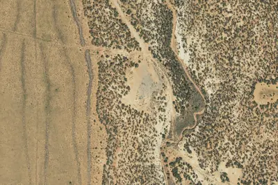
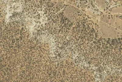
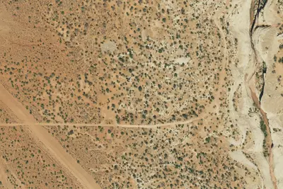
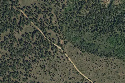
Dispersed camping nearby
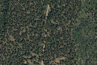
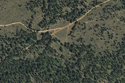
Free dispersed camping within 19 mi, on public land.
- 10 mi
Fry Canyon Dispersed Campground
Blanding, UT · On Bureau of Land Management land · Monticello Field Office
- 11 mi
Camp site
Blanding, UT · On U.S. Forest Service land · Manti-La Sal National Forest
- 11 mi
Camp site
Blanding, UT · On U.S. Forest Service land · Manti-La Sal National Forest
- 11 mi
Camp site
Blanding, UT · On U.S. Forest Service land · Manti-La Sal National Forest
- 12 mi
Camp site
Blanding, UT · On Bureau of Land Management land · Monticello Field Office
- 13 mi
Snow Flat Camp 14
Blanding, UT · On State agency land · The State of Utah School and Institutional Trust Lands Administration 850
Location and contact
Data from National Park Service — campgrounds (NPS Data API), OpenStreetMap, Recreation Information Database (RIDB) / Recreation.gov, Recreation.gov — campground rate cards
Something wrong here? Suggest an edit
Run this campground? Claim the listing