Nason Creek Campground
Leavenworth, Washington · 1,900 ft · In Okanogan-Wenatchee National Forest
Photos: Share the Experience, Paul Tharian
Wildfire 4.7 mi NE: Little Giant, 172,912 acres, 95% contained
At a glance
4 of 8 facts known · recreation.gov, checked Sep 24, 2026
- Elevation
- 1,900 ft (579 m)1,900 ft579 m
Loops3
Pick a loop to see its sites.
From recreation.gov's site list, Oct 10, 2026: 4 staff entries left out. Loop names are trimmed and merged.
Amenities
From OpenStreetMap, Overture Maps Foundation — Places, Recreation.gov, Recreation.gov — campground rate cards, USDA Forest Service — Recreation Opportunities, USFS INFRA Recreation Sites · Correct
- Caravan / RV sites
- Drinking water
- Tent sites
- Toilets
From OpenStreetMap, Overture Maps Foundation — Places, Recreation.gov, Recreation.gov — campground rate cards, USDA Forest Service — Recreation Opportunities, USFS INFRA Recreation Sites
You could be the first camper hereYou could be the first camper on this page
Stayed here? Share what the next camper should know.
Free account · no email needed to browse
About
Overview
The Nason Creek Campground is located approximately 19 miles north of Leavenworth, Washington, and about one mile south of the Lake Wenatchee State Park. Set in old growth forest and in the Cascade foothills, Nason Creek is a popular destination.Recreation
In addition to being a prime location for hiking, fishing, swimming, horseback riding and mountain biking in summer and early fall, the Nason Creek area offers excellent skiing, snowshoeing and snowmobiling in the winter months. The campground is also a great base camp for day-hikers and overnight backpackers. Several access trails from the area give hikers the chance to create their own excursions, whether it be a day hike or an overnight trip. Anglers enjoy fishing for rainbow trout, cutthroat trout and kokanee salmon from boat or shoreline on nearby Lake Wenatchee.Facilities
From OpenStreetMap, Overture Maps Foundation — Places, Recreation.gov, Recreation.gov — campground rate cards, USDA Forest Service — Recreation Opportunities, and USFS INFRA Recreation Sites · · Edit
Cell service
Report signal- Verizon4G LTE
- AT&T5G · 4G LTE
- T-Mobile5G · 4G LTE
Cell service at Nason Creek Campground: FCC map Dec 2025
Weather
National Weather Service
- WedPatchy Frost then Mostly Sunny, 6% chance of rain66°36°
- ThuAreas Of Fog then Sunny66°34°
- FriAreas Of Frost then Sunny69°43°
- SatChance Rain Showers, 34% chance of rain57°30°
- SunMostly Sunny, 6% chance of rain59°35°
Nearby camping
SeeSee all on the map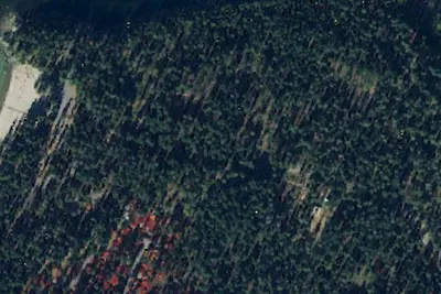
Camp site
Campground · 0.5 mi · Leavenworth
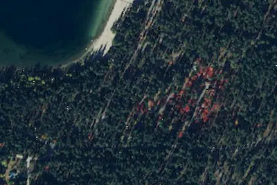
Lake Wenatchee State Park South Campground
State Park · 0.6 mi · Leavenworth
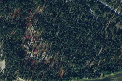
Lake Wenatchee State Park North Campground
State Park · 0.9 mi · Leavenworth
3 more within 25 mi
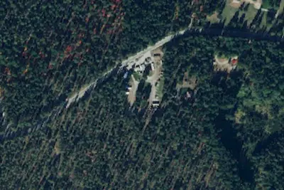
Dispersed camping nearby
Free dispersed camping within 19 mi, on public land.
- 4.4 mi
Alder Creek Horse Camp
Leavenworth-Lake Wenatchee, WA
- 5.7 mi
Deer Camp
Leavenworth, WA
- 5.9 mi
Maverick Saddle Campground
Entiat, WA · On U.S. Forest Service land · Wenatchee National Forest
- 10 mi
White Pine
Leavenworth-Lake Wenatchee, WA
- 10 mi
Camp site
Leavenworth, WA · On U.S. Forest Service land · Wenatchee National Forest
- 11 mi
Camp site
Leavenworth, WA · On U.S. Forest Service land · Wenatchee National Forest
Location and contact
Data from OpenStreetMap, Overture Maps Foundation — Places, Recreation Information Database (RIDB) / Recreation.gov, Recreation.gov — campground rate cards, USDA Forest Service — Recreation Opportunities, USFS INFRA Recreation Sites
Something wrong here? Suggest an edit
Run this campground? Claim the listing