Murray Bay Campground (Mt)
Essex, Montana · 3,596 ft · In Flathead National Forest
At a glance
6 of 8 facts known · recreation.gov, checked Sep 24, 2026
- Elevation
- 3,596 ft (1,096 m)3,596 ft1,096 m
Sites20
Murray Bay Campground (Mt) lists no loops, so its sites are listed here. Pick a site to see its details.
- 01Standard · up to 8 people60 ft
- 02Standard · up to 8 people60 ft
- 03Standard · up to 8 people60 ft
- 04Standard · up to 8 people60 ft
- 05Standard · up to 8 people41 ft
- 06Standard · up to 8 people60 ft
- 07Standard · up to 8 people48 ft
- 08Standard · up to 8 people33 ft
- 09Standard · up to 8 people40 ft
- 10Standard · up to 8 people42 ft
Showing 10 of 20 · by site number
From recreation.gov's site list, Oct 10, 2026.
Amenities
From OpenStreetMap, Overture Maps Foundation — Places, Recreation.gov, Recreation.gov — campground rate cards, USDA Forest Service — Recreation Opportunities, USFS INFRA Recreation Sites · Correct
- Campfires allowed
From OpenStreetMap, Overture Maps Foundation — Places, Recreation.gov, Recreation.gov — campground rate cards, USDA Forest Service — Recreation Opportunities, USFS INFRA Recreation Sites
You could be the first camper hereYou could be the first camper on this page
Stayed here? Share what the next camper should know.
Free account · no email needed to browse
About
Overview
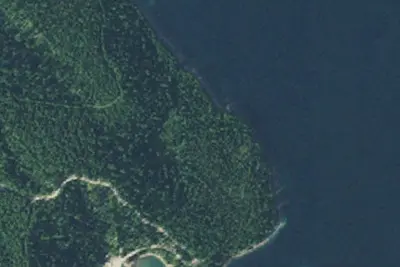
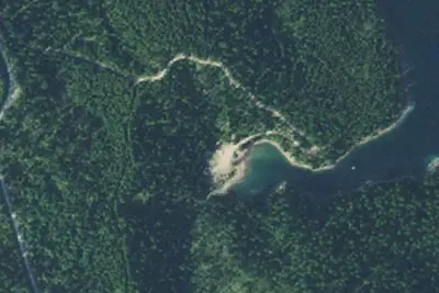
Murray Bay Campground is located on the Hungry Horse Reservoir, high in the Rocky Mountains, less than 30 miles from the Continental Divide, surrounded by towering mountain peaks. Visitors can expect a variety of recreational activities, including, fishing, boating, swimming, hiking, exploring and big game hunting. Murray Bay Campground has 20 sites, 11 which are reservable and 9 that are for our walk up visitors. The stay limit is 16 consecutive days.
Recreation
Boating is popular on the 27,750-acre reservoir, and a concrete boat ramp is accessible from within the campground. Swimming and fishing are also popular pastimes, and anglers can expect to catch a variety of fish, including cutthroat trout.Facilities
From OpenStreetMap, Overture Maps Foundation — Places, Recreation.gov, Recreation.gov — campground rate cards, USDA Forest Service — Recreation Opportunities, and USFS INFRA Recreation Sites · · Edit
Cell service
Report signalFCC map: no coverage reported
- VerizonNo coverage on FCC map
- AT&TNo coverage on FCC map
- T-MobileNo coverage on FCC map
Cell service at Murray Bay Campground (Mt): FCC map Dec 2025
Weather
National Weather Service
- TueSunny, 1% chance of rain50°37°
- WedMostly Sunny, 4% chance of rain52°38°
- ThuSunny57°41°
- FriSunny61°45°
- SatSunny, 1% chance of rain61°41°
Nearby camping
SeeSee all on the map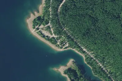
Camp site (US Forest Service)
Public Land · 0.4 mi · Essex
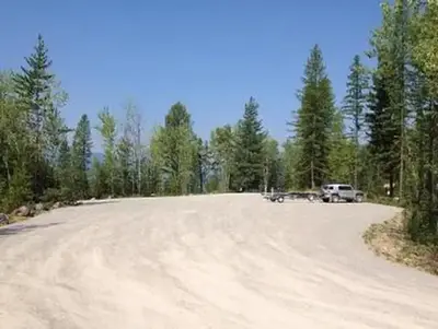
Riverside Campground (Mt)
Public Land · 0.5 mi · Essex
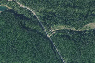
Murray Gravel Pit
Dispersed · 0.5 mi · Essex
3 more within 25 mi
Dispersed camping nearby
Free dispersed camping within 19 mi, on public land.
- 0.5 mi
Murray Gravel Pit
Essex, MT
- 2.4 mi
Flossy Bay Dispersed Camp West Site
Bigfork, MT · On Bureau of Reclamation land · Hungry Horse Reservoir
- 2.5 mi
Flossy Bay Dispersed Camp North Site
Bigfork, MT · On Bureau of Reclamation land · Hungry Horse Reservoir
- 2.5 mi
Flossy Bay Dispersed Camp East Site
Bigfork, MT · On Bureau of Reclamation land · Hungry Horse Reservoir
- 2.5 mi
Flossy Bay Dispersed Camp South Site
Bigfork, MT · On Bureau of Reclamation land · Hungry Horse Reservoir
- 2.7 mi
Clayton Creek Gate
Bigfork, MT · On Bureau of Reclamation land · Hungry Horse Reservoir
Location and contact
Data from OpenStreetMap, Overture Maps Foundation — Places, Recreation Information Database (RIDB) / Recreation.gov, Recreation.gov — campground rate cards, USDA Forest Service — Recreation Opportunities, USFS INFRA Recreation Sites
Something wrong here? Suggest an edit
Run this campground? Claim the listing