Mud Spring
Dayville, Oregon · 4,990 ft
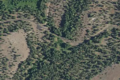
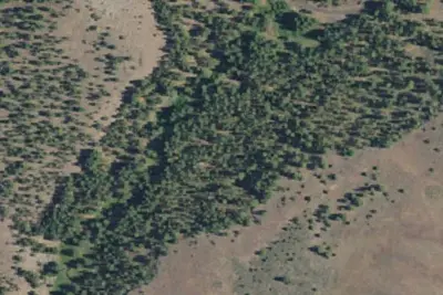
Aerial view · USGS / USDA NAIP · Public domain · source
Wildfire 41 mi SE: Second Flat, 105,854 acres, 99% contained
At a glance
3 of 8 facts known · Forest Service data, checked Oct 3, 2026
- Elevation
- 4,990 ft (1,521 m)4,990 ft1,521 m
- Land
- Ochoco National Forest
U.S. Forest Service
Amenities
You could be the first camper hereYou could be the first camper on this page
Stayed here? Share what the next camper should know.
Free account · no email needed to browse
About
This campground is a gorgeous developed site located on the southeast flank of Wolf Mountain just outside Black Canyon Wilderness, which makes long rides through pristine country very possible. There are 6 campsites and 9 corrals at the site, so folks planning for packing trips or visiting with friends who may not actually want to camp will still have room for their stock. Wilderness limitations require that group sizes be 12 heartbeats or less on a trail at the same time, but the campground does not have the same limitations. Come enjoy this beautiful site with easy access.
Fees: No fees are required for this site
From OpenStreetMap and USFS INFRA Recreation Sites · Edit
Cell service
Report signal- VerizonNo coverage on FCC map
- AT&T4G LTE
- T-MobileNo coverage on FCC map
Cell service at Mud Spring: FCC map Dec 2025
Weather
National Weather Service
- TueSunny, 1% chance of rain57°35°
- WedPatchy Frost then Sunny, 2% chance of rain60°37°
- ThuSunny67°43°
- FriSunny70°43°
- SatSunny63°36°
Nearby camping
SeeSee all on the map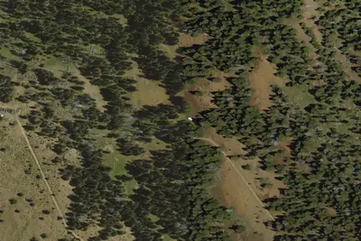
Dusty camp
Campground · 2.9 mi · Dayville
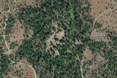
Frazier Campground
Public Land · 7.1 mi · Seneca
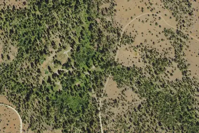
Camp site
Campground · 7.1 mi · Seneca
3 more within 25 mi
Location and contact
Data from OpenStreetMap, USFS INFRA Recreation Sites
Something wrong here? Suggest an edit
Run this campground? Claim the listing