Mt Terrill Guard Station
Richfield, Utah · 9,856 ft · In Fishlake National Forest
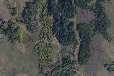
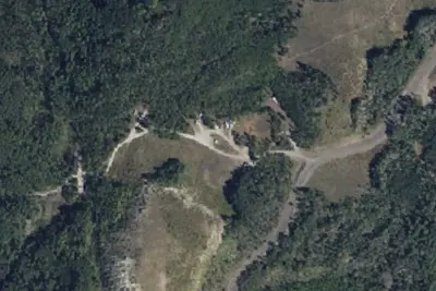
Photos: David Christensen, USDA Forest Service
At a glance
4 of 8 facts known · recreation.gov, checked Sep 24, 2026
- Elevation
- 9,856 ft (3,004 m)9,856 ft3,004 m
Sites1
Mt Terrill Guard Station lists no loops, so its sites are listed here. Pick a site to see its details.
All 1 shown · by site number
From recreation.gov's site list, Oct 10, 2026.
Amenities
From Recreation.gov, Recreation.gov — campground rate cards, USDA Forest Service — Recreation Opportunities · Correct
- Campfires allowed
From Recreation.gov, Recreation.gov — campground rate cards, USDA Forest Service — Recreation Opportunities
You could be the first camper hereYou could be the first camper on this page
Stayed here? Share what the next camper should know.
Free account · no email needed to browse
About
Overview
Mt Terrill Guard Station is located on the Fishlake National Forest in Central Utah about 30 miles southeast of Salina. The cabin sits at near the top of the paved Seven Mile-Gooseberry road #640 between Salina and Fish Lake. The guard station provides a great base camp for recreation activities such as relaxing, OHV riding, wildlife viewing, hunting, hiking, wildflower viewing, and fishing.
Recreation
Johnson Reservoir is 7 miles with Fish Lake being 15 miles south of Mt Terrill. Fishing, food services, boat rentals, and supplies are available at Fish Lake. North of Mt Terrill are small fishing ponds such as Gates Lake, Salina Reservoir, Farnsworth Reservoir, and Cold Springs.
From Recreation.gov, Recreation.gov — campground rate cards, and USDA Forest Service — Recreation Opportunities · · Edit
Cell service
Report signalFCC map: no coverage reported
- VerizonNo coverage on FCC map
- AT&TNo coverage on FCC map
- T-MobileNo coverage on FCC map
Cell service at Mt Terrill Guard Station: FCC map Dec 2025
Weather
National Weather Service
- WedSnow Showers Likely, 67% chance of rain32°21°
- ThuMostly Sunny, 2% chance of rain41°22°
- FriSunny46°25°
- SatSunny, 3% chance of rain47°28°
- SunSunny, 3% chance of rain50°29°
Nearby camping
SeeSee all on the map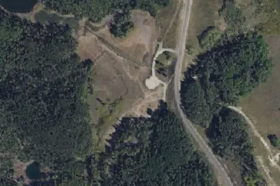
Salina Reservoir CUA Dispersed Camping
Public Land · 3.9 mi · Salina
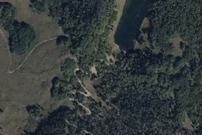
Gates Lake CUA Dispersed Camping
Public Land · 3.9 mi · Salina
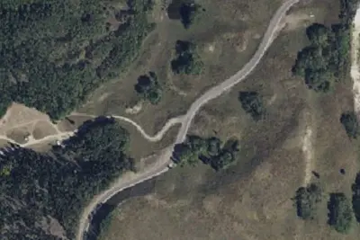
Harves River CUA Dispersed Camping
Public Land · 4.4 mi · Salina
3 more within 25 mi
6 OpenStreetMap entries in Richfield share one park. They may be individual sites of a single campground. Suggest a merge
Dispersed camping nearby
Free dispersed camping within 19 mi, on public land.
- 7.1 mi
Rex Reservoir CUA Dispersed Camping
Salina, UT
- 8.0 mi
Camp site
Fremont, UT · On U.S. Forest Service land · Fishlake National Forest
- 8.0 mi
Camp site
Fremont, UT · On U.S. Forest Service land · Fishlake National Forest
- 13 mi
Camp site (USFS)
Koosharem, UT · On U.S. Forest Service land · Fishlake National Forest
Location and contact
Data from Recreation Information Database (RIDB) / Recreation.gov, Recreation.gov — campground rate cards, USDA Forest Service — Recreation Opportunities
Something wrong here? Suggest an edit
Run this campground? Claim the listing