Mt. Rose Campground
Incline Village, Nevada · 8,904 ft
Aerial view · USGS / USDA NAIP · Public domain · source
Photos taken nearby
From Wikimedia Commons, taken close to this campground — not necessarily pictures of it.
Wildfire 16 mi N: Bull, 1,529 acres, 98% contained
At a glance
3 of 8 facts known · Forest Service data, checked Oct 3, 2026
- Elevation
- 8,904 ft (2,714 m)8,904 ft2,714 m
Amenities
You could be the first camper hereYou could be the first camper on this page
Stayed here? Share what the next camper should know.
Free account · no email needed to browse
About
Mount Rose Campground is located at an elevation of 9,300 feet in an open conifer forest overlooking beautiful Lake Tahoe, just nine miles west. Popular activities include fishing, swimming, boating, and sightseeing. Hiking is also available on several area trails including Tahoe Meadows Trail, Tahoe Rim Trail, Mount Rose Wilderness Trail and Mount Rose Summit Trail. This campground contains single and double-family sites, as well as one triple-family site. Picnic tables and fire rings are provided, as are restrooms and potable water. Roads and parking spurs throughout the site are paved. Generally open mid June through mid September.
Fees: Overnight Use:
From Overture Maps Foundation — Places, USDA Forest Service — Recreation Opportunities, and USFS INFRA Recreation Sites · · Edit
Cell service
Report signal- Verizon4G LTE
- AT&T5G · 4G LTE
- T-Mobile5G · 4G LTE
Cell service at Mt. Rose Campground: FCC map Dec 2025
Weather
National Weather Service
- WedSunny50°31°
- ThuSunny50°31°
- FriSunny54°35°
- SatSunny56°34°
- SunSunny53°34°
Nearby camping
SeeSee all on the map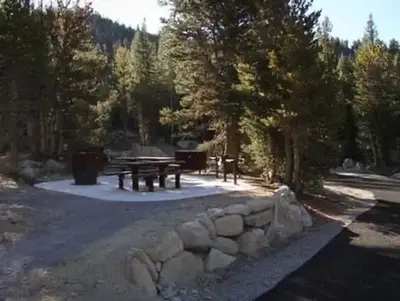
Mount Rose (Nv)
Public Land · under 100 ft · Incline Village
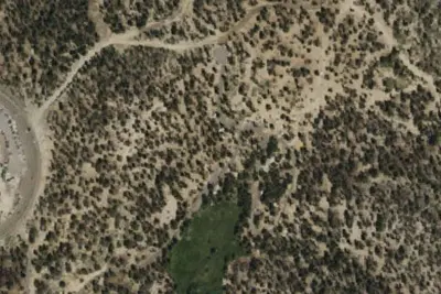
Mount Rose Campground
Public Land · 0.2 mi · Incline Village
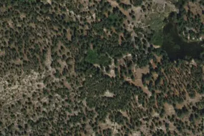
Camp site
Campground · 3.4 mi · Washoe Valley
3 more within 25 mi
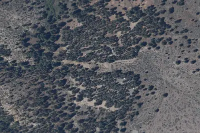
Dispersed camping nearby
Free dispersed camping within 19 mi, on public land.
Location and contact
Data from Overture Maps Foundation — Places, USDA Forest Service — Recreation Opportunities, USFS INFRA Recreation Sites
Something wrong here? Suggest an edit
Run this campground? Claim the listing