Mount Princeton
Nathrop, Colorado · 8,638 ft · In Pike and San Isabel National Forests & Cimarron and Comanche National Grasslands
Photos: Salida Ranger District
Photos taken nearby
From Wikimedia Commons, taken close to this campground — not necessarily pictures of it.
Wildfire 34 mi N: Willow, 7,359 acres, 92% contained
At a glance
7 of 8 facts known · recreation.gov, checked Sep 24, 2026
- Elevation
- 8,638 ft (2,633 m)8,638 ft2,633 m
Sites19
Mount Princeton lists no loops, so its sites are listed here. Pick a site to see its details.
- 001Standard · up to 8 people
- 002Standard · up to 8 people
- 003Standard · up to 8 people
- 004Standard · up to 8 people
- 005Standard · up to 8 people
- 006Standard · up to 8 people
- 007Standard · up to 8 people
- 008Standard · up to 8 people
- 009Standard · up to 8 people
- 010Standard · up to 8 people
Showing 10 of 19 · by site number
From recreation.gov's site list, Oct 10, 2026.
Amenities
From OpenStreetMap, Overture Maps Foundation — Places, Recreation.gov, Recreation.gov — campground rate cards, USDA Forest Service — Recreation Opportunities, USFS INFRA Recreation Sites · Correct
- ADA accessible
- Campfires allowed
From OpenStreetMap, Overture Maps Foundation — Places, Recreation.gov, Recreation.gov — campground rate cards, USDA Forest Service — Recreation Opportunities, USFS INFRA Recreation Sites
You could be the first camper hereYou could be the first camper on this page
Stayed here? Share what the next camper should know.
Free account · no email needed to browse
About
Overview
Mount Princeton Campground is located in beautiful Chalk Creek Canyon in central Colorado. This popular facility is within 4 miles of a private hot springs resort, making it an ideal location for rest and relaxation.
"First come, first served" does not necessarily mean that the site will be available when you get there. Someone may get there before you. This is a popular campground and is normally full starting on Friday, sometimes as early as Thursday, so plan accordingly.
From OpenStreetMap, Overture Maps Foundation — Places, Recreation.gov, Recreation.gov — campground rate cards, USDA Forest Service — Recreation Opportunities, and USFS INFRA Recreation Sites · · Edit
Cell service
Report signalFCC map: no coverage reported
- VerizonNo coverage on FCC map
- AT&TNo coverage on FCC map
- T-MobileNo coverage on FCC map
Cell service at Mount Princeton: FCC map Dec 2025
Weather
National Weather Service
- WedSlight Chance T-storms then Chance T-storms, 98% chance of rain40°28°
- ThuPartly Sunny then Chance Snow Showers, 26% chance of rain42°25°
- FriSunny, 2% chance of rain47°28°
- SatSunny, 1% chance of rain54°34°
- SunMostly Sunny, 13% chance of rain51°32°
Nearby camping
SeeSee all on the map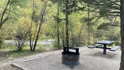
Chalk Lake
Public Land · 0.6 mi · Buena Vista
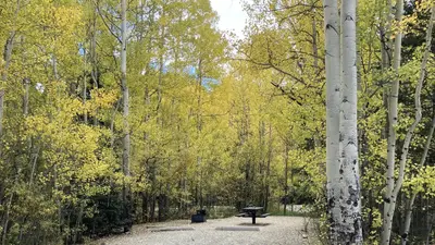
Cascade (Colorado)
Public Land · 1.2 mi · Buena Vista
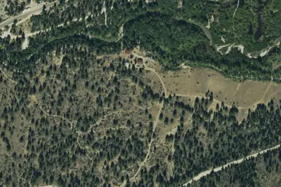
Bootleg
Public Land · 1.4 mi · Nathrop
3 more within 25 mi
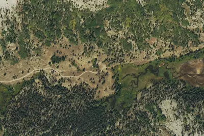
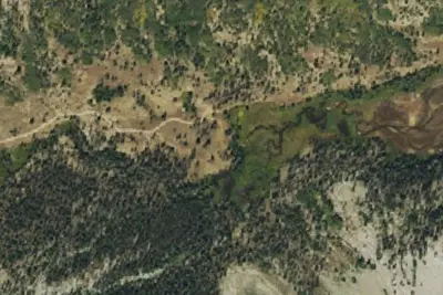
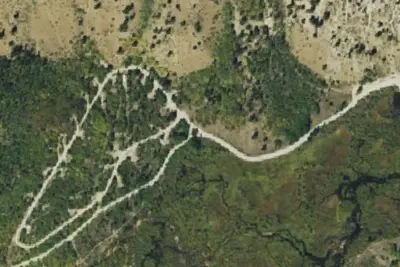
5 OpenStreetMap entries in Nathrop share one park. They may be individual sites of a single campground. Suggest a merge
Dispersed camping nearby
Free dispersed camping within 19 mi, on public land.
- 5.0 mi
Camp site
Maysville, CO · On U.S. Forest Service land · San Isabel National Forest
- 5.0 mi
Camp site
Maysville, CO · On U.S. Forest Service land · San Isabel National Forest
- 6.2 mi
Camp site
Buena Vista, CO · On U.S. Forest Service land · San Isabel National Forest
- 6.2 mi
Camp site
Buena Vista, CO · On U.S. Forest Service land · San Isabel National Forest
- 6.2 mi
Camp site
Buena Vista, CO · On U.S. Forest Service land · San Isabel National Forest
- 6.2 mi
Camp site
Buena Vista, CO · On U.S. Forest Service land · San Isabel National Forest
Location and contact
Data from OpenStreetMap, Overture Maps Foundation — Places, Recreation Information Database (RIDB) / Recreation.gov, Recreation.gov — campground rate cards, USDA Forest Service — Recreation Opportunities, USFS INFRA Recreation Sites
Something wrong here? Suggest an edit
Run this campground? Claim the listing