Mound Valley
Parsons, Kansas · 866 ft · In Big Hill Lake
Tabitha Westhoff · source
At a glance
6 of 8 facts known · recreation.gov, checked Sep 24, 2026
- Elevation
- 866 ft (264 m)866 ft264 m
Loops5
Pick a loop to see its sites.
From recreation.gov's site list, Oct 10, 2026: 1 staff entry left out. Loop names are trimmed and merged.
Amenities
From Recreation.gov, Recreation.gov — campground rate cards · Correct
- Campfires allowed
From Recreation.gov, Recreation.gov — campground rate cards
You could be the first camper hereYou could be the first camper on this page
Stayed here? Share what the next camper should know.
Free account · no email needed to browse
About
Overview
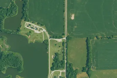
Mound Valley is located on the crystal clear Big Hill Lake in southeast Kansas.
The lake boasts three campgrounds, three equestrian trails and four day-use areas for the public to enjoy.
From Recreation.gov and Recreation.gov — campground rate cards · · Edit
Cell service
Report signal- Verizon5G · 4G LTE
- AT&T4G LTE
- T-Mobile5G · 4G LTE
Cell service at Mound Valley: FCC map Dec 2025
Weather
National Weather Service
- WedShowers And Thunderstorms, 90% chance of rain78°67°
- ThuShowers And Thunderstorms, 92% chance of rain78°51°
- FriMostly Sunny, 10% chance of rain59°39°
- SatSunny62°44°
- SunMostly Sunny, 2% chance of rain69°51°
Nearby camping
SeeSee all on the map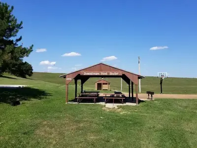
Downstream Point
Public Land · under 100 ft · Parsons
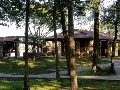
Overlook (Ks)
Public Land · 0.8 mi · Parsons
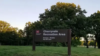
Cherryvale Park
Public Land · 1.1 mi · Parsons
3 more within 25 mi
Location and contact
Data from Recreation Information Database (RIDB) / Recreation.gov, Recreation.gov — campground rate cards
Something wrong here? Suggest an edit
Run this campground? Claim the listing