Morgan Spring Float Camp
Warm Springs, Missouri · 387 ft
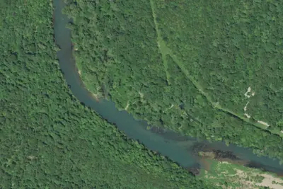
Aerial view · USGS / USDA NAIP · Public domain · source
At a glance
3 of 8 facts known · Forest Service data, checked Oct 3, 2026
- Elevation
- 387 ft (118 m)387 ft118 m
- Land
- Mark Twain National Forest
U.S. Forest Service
Amenities
You could be the first camper hereYou could be the first camper on this page
Stayed here? Share what the next camper should know.
Free account · no email needed to browse
About
Morgan Spring Float Camp is on the right, just past the spring branch inlet from Morgan Spring. This camp is 7.7 miles downriver of Riverton. Footpaths lead from the float camp to Morgan and Blue Springs. There are three campsites available on a first come basis at this primitive site. The vault toilet is located just up the trail from the campsites. From this float camp the next take out is at Hwy 142 Access. Old Thomasson Mill Spring was the original name for this beautiful spring back in the days when a small grist mill by that name stood nearby. The area contains unique geographic landforms and associated deep blue, mineral rich springs that add 140 million gallons of brisk 58 degrees water to the Eleven Point River daily. The site has a colorful history. Thomasson water mill operated along the Morgan Spring branch until the early 1900's and B.B. Morgan operated an aquaculture business that provided millions of aquarium plants all around the world. All of this beauty could have been at the bottom of a lake if the Army Corps. had not met such fiery opposition from Morgan and others who wanted to preserve the Eleven Point River for posterity. The Eleven Point River was protected by the National Wild and Scenic Rivers Act of 1968, and the Narrows property entered into Forest Service ownership in 1972. The Mark Twain National Forest manages this site to protect natural features, preserve historical aspects, and provide for a enjoyable user experience.
Fees: No fees are required for this site
From USDA Forest Service — Recreation Opportunities and USFS INFRA Recreation Sites · Edit
Cell service
Report signalFCC map: no coverage reported
- VerizonNo coverage on FCC map
- AT&TNo coverage on FCC map
- T-MobileNo coverage on FCC map
Cell service at Morgan Spring Float Camp: FCC map Dec 2025
Weather
National Weather Service
- WedScattered Showers And Thunderstorms, 84% chance of rain86°68°
- ThuChance Showers And Thunderstorms, 29% chance of rain89°56°
- FriSlight Chance Rain Showers then Mostly Sunny, 16% chance of rain65°40°
- SatSunny64°38°
- SunSunny69°45°
Nearby camping
SeeSee all on the map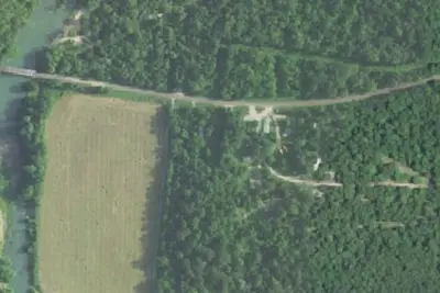
Camp site
Campground · 6.2 mi · Alton
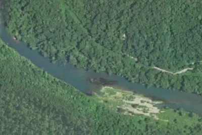
Camp site
Campground · 7.2 mi · Alton
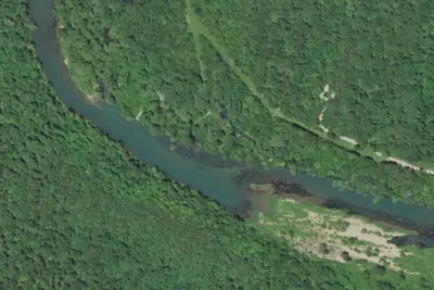
Camp site
Campground · 7.2 mi · Alton
3 more within 25 mi
4 OpenStreetMap entries in Warm Springs share one park. They may be individual sites of a single campground. Suggest a merge
Dispersed camping nearby
Free dispersed camping within 19 mi, on public land.
Location and contact
Data from USDA Forest Service — Recreation Opportunities, USFS INFRA Recreation Sites
Something wrong here? Suggest an edit
Run this campground? Claim the listing