Monarch Park
Garfield, Colorado · 10,472 ft · In Pike and San Isabel National Forests & Cimarron and Comanche National Grasslands
Photos: Salida Ranger District
Wildfire 47 mi N: Willow, 7,359 acres, 92% contained
At a glance
6 of 8 facts known · recreation.gov, checked Sep 24, 2026
- Elevation
- 10,472 ft (3,192 m)10,472 ft3,192 m
Loops2
Pick a loop to see its sites.
From recreation.gov's site list, Oct 10, 2026: 3 staff entries left out. Loop names are trimmed and merged.
How we name loops
“MANAGEMENT” is a staff entry, not a campsite, and is left out.
Amenities
From OpenStreetMap, Overture Maps Foundation — Places, Recreation.gov, Recreation.gov — campground rate cards, USDA Forest Service — Recreation Opportunities, USFS INFRA Recreation Sites · Correct
- Campfires allowed
From OpenStreetMap, Overture Maps Foundation — Places, Recreation.gov, Recreation.gov — campground rate cards, USDA Forest Service — Recreation Opportunities, USFS INFRA Recreation Sites
You could be the first camper hereYou could be the first camper on this page
Stayed here? Share what the next camper should know.
Free account · no email needed to browse
About
Overview
After being closed the past couple of years for renovations, look for Monarch Park to reopen on Friday, August 21, 2026!
Monarch Park is nestled at the base of Monarch Ridge, a short drive north of Monarch Pass on Highway 50. Some campsites at the family-friendly destination are located on the banks of the South Fork Arkansas River, while others lie along a creek. Popular activities in the area include hiking the Colorado/Continental DivideTrail and fishing. Beaver ponds near the entrance to the campground make a great fishing spot for families with young children. Monarch Pass is a high mountain pass along the southern part of Colorado's Sawatch Range. The pass crosses the Continental Divide at an altitude of 11,312 feet.
From OpenStreetMap, Overture Maps Foundation — Places, Recreation.gov, Recreation.gov — campground rate cards, USDA Forest Service — Recreation Opportunities, and USFS INFRA Recreation Sites · · Edit
Cell service
Report signal- VerizonNo coverage on FCC map
- AT&T5G · 4G LTE
- T-Mobile5G · 4G LTE
Cell service at Monarch Park: FCC map Dec 2025
Weather
National Weather Service
- WedSlight Chance T-storms, 94% chance of rain36°25°
- ThuMostly Sunny then Slight Chance Snow Showers, 15% chance of rain36°21°
- FriSunny41°26°
- SatMostly Sunny, 1% chance of rain46°31°
- SunMostly Sunny, 10% chance of rain43°30°
Nearby camping
SeeSee all on the map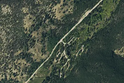
Snowblind
Public Land · 5.0 mi · Garfield
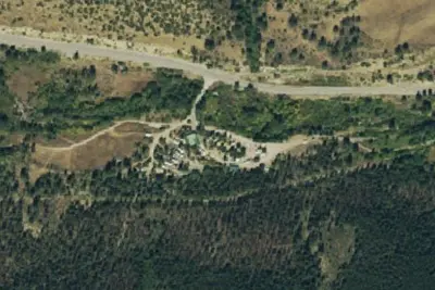
Monarch Spur RV Park & Campground
RV Park · 5.6 mi · Maysville
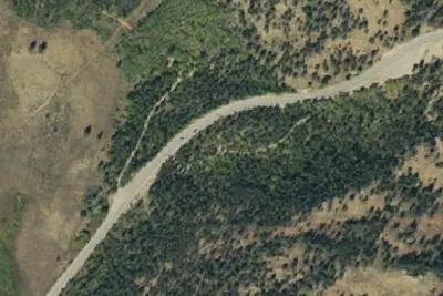
Camp site
Campground · 6.2 mi · Maysville
3 more within 25 mi
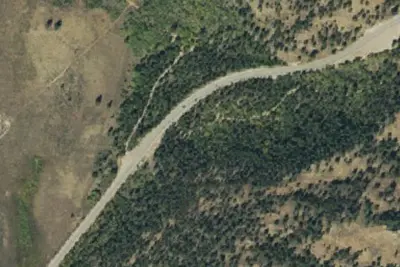
Dispersed camping nearby
Free dispersed camping within 19 mi, on public land.
- 7.1 mi
Camp site
Pitkin, CO · On U.S. Forest Service land · Gunnison National Forest
- 9.3 mi
Camp site
Maysville, CO · On U.S. Forest Service land · San Isabel National Forest
- 9.8 mi
Camp site
Maysville, CO · On U.S. Forest Service land · San Isabel National Forest
- 9.8 mi
Camp site
Maysville, CO · On U.S. Forest Service land · Gunnison National Forest
- 9.8 mi
Camp site
Maysville, CO · On U.S. Forest Service land · San Isabel National Forest
- 12 mi
Camp site
Poncha Springs, CO · On U.S. Forest Service land · San Isabel National Forest
Location and contact
Data from OpenStreetMap, Overture Maps Foundation — Places, Recreation Information Database (RIDB) / Recreation.gov, Recreation.gov — campground rate cards, USDA Forest Service — Recreation Opportunities, USFS INFRA Recreation Sites
Something wrong here? Suggest an edit
Run this campground? Claim the listing