Millpond Recreation Site
Glide, Oregon · 1,060 ft · In North Umpqua Wild and Scenic River
Photos: BLM
At a glance
4 of 8 facts known · recreation.gov, checked Sep 24, 2026
- Elevation
- 1,060 ft (323 m)1,060 ft323 m
Sites12
Millpond Recreation Site lists no loops, so its sites are listed here. Pick a site to see its details.
From recreation.gov's site list, Oct 10, 2026.
Amenities
You could be the first camper hereYou could be the first camper on this page
Stayed here? Share what the next camper should know.
Free account · no email needed to browse
About
Overview
THIS LOCATION IS CLOSED UNTIL FURTHER NOTICE DUE TO WILDFIRE DAMAGE.
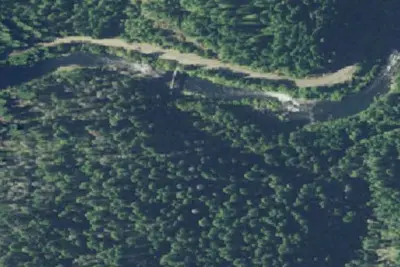
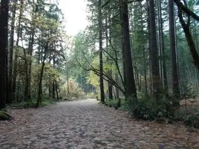
Nestled along the clear waters of Rock Creek, Millpond’s lush forest gives way to spacious grassy areas, great for day-use and running the kids and dogs. A children's play area, a large ball-field, interpretive panels, and swimming areas are all available at Millpond. There is a short nature trail on the west end of the campground and the mile-long Sawmill Trail to the east.
From BLM National Recreation Sites & Facilities, Recreation.gov, and Recreation.gov — campground rate cards · · Edit
Cell service
Report signal- Verizon4G LTE
- AT&T4G LTE
- T-MobileNo coverage on FCC map
Cell service at Millpond Recreation Site: FCC map Dec 2025
Weather
National Weather Service
- WedSunny, 4% chance of rain70°49°
- ThuSunny83°50°
- FriSunny81°48°
- SatMostly Sunny, 2% chance of rain64°44°
- SunMostly Sunny, 2% chance of rain62°42°
Nearby camping
SeeSee all on the map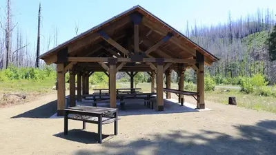
Lone Pine Group Campground
Public Land · 0.2 mi · Glide
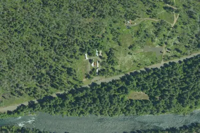
Susan Creek RV Park
RV Park · 6.0 mi · Glide
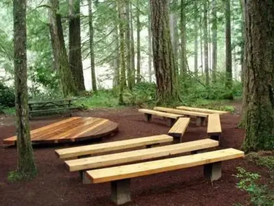
Susan Creek Campground
Public Land · 6.4 mi · Glide
3 more within 25 mi
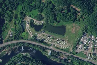
Dispersed camping nearby
Free dispersed camping within 19 mi, on public land.
Location and contact
Data from BLM National Recreation Sites & Facilities, Recreation Information Database (RIDB) / Recreation.gov, Recreation.gov — campground rate cards
Something wrong here? Suggest an edit
Run this campground? Claim the listing