Miller Flat Reservoir Campground
Clear Creek, Utah · 8,799 ft · In Manti-La Sal National Forest
Photos: USFS
At a glance
5 of 8 facts known · recreation.gov, checked Sep 24, 2026
- Elevation
- 8,799 ft (2,682 m)8,799 ft2,682 m
Sites4
Miller Flat Reservoir Campground lists no loops, so its sites are listed here. Pick a site to see its details.
From recreation.gov's site list, Oct 10, 2026: 2 staff entries left out.
Amenities
From OpenStreetMap, Recreation.gov, Recreation.gov — campground rate cards, USFS INFRA Recreation Sites · Correct
- Campfires allowed
- Toilets
From OpenStreetMap, Recreation.gov, Recreation.gov — campground rate cards, USFS INFRA Recreation Sites
You could be the first camper hereYou could be the first camper on this page
Stayed here? Share what the next camper should know.
Free account · no email needed to browse
About
Overview
Miller Flat Reservoir Campground is located in a high mountain valley near Miller Flat Reservoir, at an elevation of 8,500 feet. Visitors enjoy fishing, canoeing, horseback riding and exploring the surrounding off-road vehicle trails. The campground rest in a stand of aspen and spruce trees and sites the sites range from having partial to full shade throughout the day.
Visitors are allowed to configure their vehicles and trailers as they choose within the site. Group cooking facilities are provided including picnic tables, a fire ring, dutch oven fire pan and utility tables. A vault toilet facility is located about 50 feet from the site. There is no electricity, water, sewer or garbage services. If the group site is not reserved, it is available to visitors on a first-come, first-served basis for $5.00 per vehicle per night. To maintain priority for reservations, first-come, first-served customers may only pay for two nights at a time. The three double family sites in the campground are only available on a first-come, first-served basis for $5.00 per vehicle per night.
From OpenStreetMap, Recreation.gov, Recreation.gov — campground rate cards, and USFS INFRA Recreation Sites · · Edit
Cell service
Report signalFCC map: no coverage reported
- VerizonNo coverage on FCC map
- AT&TNo coverage on FCC map
- T-MobileNo coverage on FCC map
Cell service at Miller Flat Reservoir Campground: FCC map Dec 2025
Weather
National Weather Service
- WedChance Snow Showers, 47% chance of rain35°26°
- ThuMostly Sunny, 1% chance of rain42°26°
- FriSunny47°29°
- SatSunny, 1% chance of rain48°31°
- SunSunny, 2% chance of rain51°32°
Nearby camping
SeeSee all on the map
Miler Flat Reservoir Group Camp Site
Campground · 290 ft · Clear Creek
Camp site
Campground · 1.5 mi · Mount Pleasant
Camp site
Campground · 2.0 mi · Mount Pleasant
3 more within 25 mi
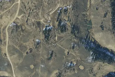
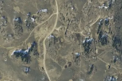
6 OpenStreetMap entries in Clear Creek share one park. They may be individual sites of a single campground. Suggest a merge
Dispersed camping nearby
Free dispersed camping within 19 mi, on public land.
- 2.6 mi
Camp site
Mount Pleasant, UT · On U.S. Forest Service land · Manti-La Sal National Forest
- 5.4 mi
Camp site
Clear Creek, UT · On U.S. Forest Service land · Manti-La Sal National Forest
- 5.4 mi
Camp site
Clear Creek, UT · On U.S. Forest Service land · Manti-La Sal National Forest
- 5.5 mi
Camp site
Clear Creek, UT · On U.S. Forest Service land · Manti-La Sal National Forest
- 5.5 mi
Camp site
Clear Creek, UT · On U.S. Forest Service land · Manti-La Sal National Forest
- 5.6 mi
Camp site
Clear Creek, UT · On U.S. Forest Service land · Manti-La Sal National Forest
Location and contact
Data from OpenStreetMap, Recreation Information Database (RIDB) / Recreation.gov, Recreation.gov — campground rate cards, USFS INFRA Recreation Sites
Something wrong here? Suggest an edit
Run this campground? Claim the listing