Mill Creek Campground (CO)
Lake City, Colorado · 9,452 ft
Photos: BLM
Wildfire 11 mi N: Elk, 7,257 acres, 90% contained
At a glance
5 of 8 facts known · recreation.gov, checked Oct 3, 2026
- Elevation
- 9,452 ft (2,881 m)9,452 ft2,881 m
Loops2
Pick a loop to see its sites.
From recreation.gov's site list, Oct 10, 2026. Loop names are trimmed and merged.
Amenities
From BLM National Recreation Sites & Facilities, OpenStreetMap, Recreation.gov, Recreation.gov — campground rate cards · Correct
- Campfires allowed
- Campfires allowed
- Drinking water
- Toilets
From BLM National Recreation Sites & Facilities, OpenStreetMap, Recreation.gov, Recreation.gov — campground rate cards
You could be the first camper hereYou could be the first camper on this page
Stayed here? Share what the next camper should know.
Free account · no email needed to browse
About
Overview
Mill Creek Campground is located 14 miles southwest of Lake City, Colorado at 9,500 feet above sea level. Nestled along the Lake Fork of the Gunnison River, the campground offers a fishing access trail for anglers and river access (though boating is not recommended from this location). The campground is surrounded by the Redcloud Peak and Handies Peak Wilderness Study Areas with world class hiking opportunities just a short drive away, including trails to three 14,000-foot peaks. From the campground, licensed OHV's and high clearance 4-wheel-drive vehicles can access the legendary Alpine Loop Backcountry Byway; a rugged 65 mile road system that connects the towns of Lake City, Silverton, and Ouray through the spectacular mountain scenery of the San Juan Mountains. The campground is accessible June through September.
Recreation
Mill Creek Campground is an ideal base camp for exploring the Alpine Loop Backcountry Byway and the majestic San Juan Mountains. Whether you like to ride an off-highway vehicle, fly fish the Lake Fork, learn about the area's hardrock mining history, or challenge yourself to hike one of the 14,000-foot peaks, this area has something for everyone. There are also opportunities for viewing wildlife, seasonal wildflowers, and fishing the Lake Fork of the Gunnison River or nearby Lake San Cristobal.
From BLM National Recreation Sites & Facilities, OpenStreetMap, Recreation.gov, and Recreation.gov — campground rate cards · · Edit
Cell service
Report signalFCC map: no coverage reported
- VerizonNo coverage on FCC map
- AT&TNo coverage on FCC map
- T-MobileNo coverage on FCC map
Cell service at Mill Creek Campground (CO): FCC map Dec 2025
Weather
National Weather Service
- WedSlight Chance T-storms, 94% chance of rain41°24°
- ThuMostly Sunny, 5% chance of rain46°23°
- FriSunny49°28°
- SatMostly Sunny, 12% chance of rain50°34°
- SunSlight Chance Snow Showers then Slight Chance Rain Showers, 22% chance of rain48°30°
Nearby camping
SeeSee all on the map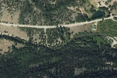
Camp site
Dispersed · 0.7 mi · Lake City
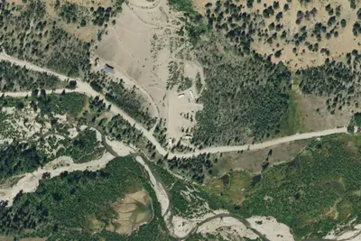
Grizzly RT RV Park
RV Park · 1.0 mi · Lake City
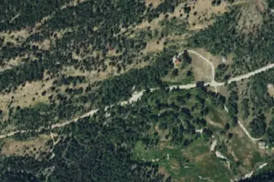
Cataract Gulch
Campground · 2.2 mi · Lake City
3 more within 25 mi
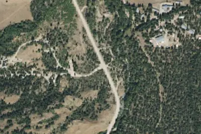
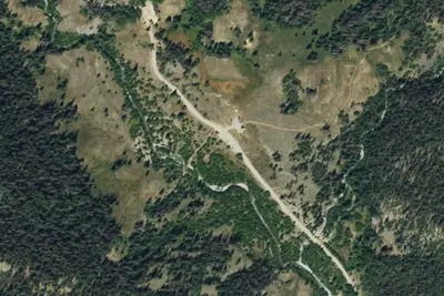
4 OpenStreetMap entries in Lake City share one park. They may be individual sites of a single campground. Suggest a merge
Dispersed camping nearby
Free dispersed camping within 19 mi, on public land.
- 0.7 mi
Camp site
Lake City, CO · On Bureau of Land Management land · Gunnison Field Office
- 4.2 mi
Burrows Park Dispersed Camping
Lake City, CO · On Bureau of Land Management land · Gunnison Field Office
- 4.2 mi
Camp site
Lake City, CO · On Bureau of Land Management land · Gunnison Field Office
- 4.9 mi
Argentum Site 3
Lake City, CO · On Bureau of Land Management land · Gunnison Field Office
- 4.9 mi
Argentum Site 1
Lake City, CO · On Bureau of Land Management land · Gunnison Field Office
- 4.9 mi
Argentum Site 2
Lake City, CO · On Bureau of Land Management land · Gunnison Field Office
Location and contact
Data from BLM National Recreation Sites & Facilities, OpenStreetMap, Recreation Information Database (RIDB) / Recreation.gov, Recreation.gov — campground rate cards
Something wrong here? Suggest an edit
Run this campground? Claim the listing