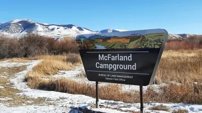
McFarland Campground
Leadore, Idaho · 5,381 ft
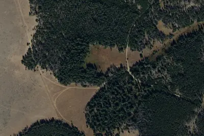
Photos: USGS / USDA NAIP
Wildfire 46 mi N: Sand Creek, 35,520 acres, 83% contained
At a glance
3 of 8 facts known · recreation.gov, checked Oct 3, 2026
- Elevation
- 5,381 ft (1,640 m)5,381 ft1,640 m
- Land
- Salmon Field Office
Bureau of Land Management
Amenities
You could be the first camper hereYou could be the first camper on this page
Stayed here? Share what the next camper should know.
Free account · no email needed to browse
About
These 10 campsites are located on the banks of the Lemhi River and have excellent opportunities for fishing and camping. The Lemhi Valley lies between the Beaverhead Mountains and the Lemhi Range, where the river creates a riparian zone in an otherwise arid region.
From BLM National Recreation Sites & Facilities and Recreation.gov · Edit
Good to know
- Stay limit: 14 Days
Cell service
Report signal- VerizonNo coverage on FCC map
- AT&T5G · 4G LTE
- T-Mobile5G · 4G LTE
Cell service at McFarland Campground: FCC map Dec 2025
Weather
National Weather Service
- WedMostly Sunny, 1% chance of rain58°27°
- ThuSunny63°31°
- FriSunny70°33°
- SatSunny67°33°
- SunSunny, 1% chance of rain65°35°
Nearby camping
SeeSee all on the map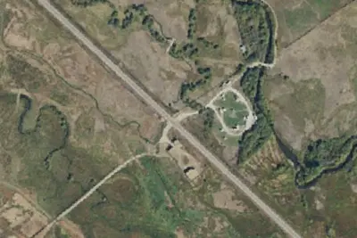
Dispersed camping nearby
Free dispersed camping within 19 mi, on public land.
Location and contact
Data from BLM National Recreation Sites & Facilities, Recreation Information Database (RIDB) / Recreation.gov
Something wrong here? Suggest an edit
Run this campground? Claim the listing