McCoy's Ferry Campground
Big Spring, Maryland · 407 ft · In Chesapeake & Ohio Canal National Historical Park
Photos: NPS Photo (Monica Larcom)
At a glance
5 of 8 facts known · recreation.gov, checked Sep 24, 2026
- Elevation
- 407 ft (124 m)407 ft124 m
Sites13
McCoy's Ferry Campground lists no loops, so its sites are listed here. Pick a site to see its details.
- 001Standard · up to 8 people
- 002Standard · up to 8 people
- 003Standard · up to 8 people
- 004Standard · up to 8 people
- 005Standard · up to 8 people
- 006Standard · up to 8 people
- 007Standard · up to 8 people
- 008Group · up to 30 people
- 009Standard · up to 8 people
- 010Standard · up to 8 people
Showing 10 of 13 · by site number
From recreation.gov's site list, Oct 10, 2026.
Amenities
From National Park Service — campgrounds, OpenStreetMap, Overture Maps Foundation — Places, Recreation.gov, Recreation.gov — campground rate cards · Correct
- Caravan / RV sites
- Tent sites
- Reservations (required)
From National Park Service — campgrounds, OpenStreetMap, Overture Maps Foundation — Places, Recreation.gov, Recreation.gov — campground rate cards
You could be the first camper hereYou could be the first camper on this page
Stayed here? Share what the next camper should know.
Free account · no email needed to browse
About
Overview
The McCoys Ferry Campground is located at Mile 110.4 on the C&O Canal Towpath, between the towns of Big Pool and Big Spring on the Maryland side of the Potomac River. The campsites are drive-in, large enough to park a very small fifth wheel/travel trailer/RV/pop-out with a 20' ft. (6.1 m) maximum. McCoys Ferry has a tunnel access which limits vehicle height to 10' 3" (3.12 m). Alcoholic beverages are prohibited.
Recreation
The most popular activities for McCoys Ferry campers is boating and fishing. The campground has a boat ramp for easy access to the Potomac River for kayakers and fisherman alike. Be sure to acquire a Maryland Fishing License for those age 16 or older.
From National Park Service — campgrounds, OpenStreetMap, Overture Maps Foundation — Places, Recreation.gov, and Recreation.gov — campground rate cards · · Edit
Cell service
Report signal- Verizon4G LTE
- AT&T5G
- T-Mobile5G · 4G LTE
Cell service at McCoy's Ferry Campground: FCC map Dec 2025
Weather
National Weather Service
- WedMostly Sunny then Slight Chance Showers And Thunderstorms, 17% chance of rain86°59°
- ThuRain Showers Likely, 70% chance of rain66°57°
- FriChance Rain Showers, 36% chance of rain79°42°
- SatSunny, 4% chance of rain54°34°
- SunSunny62°38°
Nearby camping
SeeSee all on the map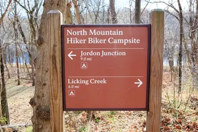
North Mountain Hiker-Biker Campsite
National Park · 0.6 mi · Big Spring
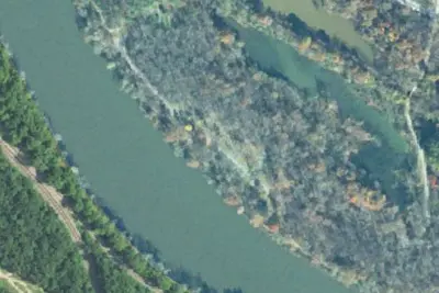
Fort Frederick State Park Campground
State Park · 2.1 mi · Big Pool
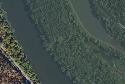
Fort Frederick State Park Youth Group Campsite
State Park · 2.2 mi · Big Pool
3 more within 25 mi
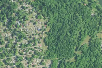
Dispersed camping nearby
Free dispersed camping within 19 mi, on public land.
Location and contact
Data from National Park Service — campgrounds (NPS Data API), OpenStreetMap, Overture Maps Foundation — Places, Recreation Information Database (RIDB) / Recreation.gov, Recreation.gov — campground rate cards
Something wrong here? Suggest an edit
Run this campground? Claim the listing