May Creek Cabin
Sula, Montana · 6,519 ft · In Beaverhead-Deerlodge National Forest
Photos: USDA-Forest Service
Wildfire 23 mi E: Sand Creek, 35,520 acres, 83% contained
At a glance
4 of 8 facts known · recreation.gov, checked Sep 24, 2026
- Elevation
- 6,519 ft (1,987 m)6,519 ft1,987 m
Loops0
Pick a loop to see its sites.
From recreation.gov's site list, Oct 10, 2026. Loop names are trimmed and merged.
Amenities
You could be the first camper hereYou could be the first camper on this page
Stayed here? Share what the next camper should know.
Free account · no email needed to browse
About
Overview
May Creek Cabin is located on the Lewis and Clark National Historic Trail in western Montana. It was built by miners in the early 1900s and used by them for
about 30 years. Hunters occupied it for about 30 years after that. The cabin went unused for nearly 30 years and was restored for public use in 1993. In 2011, more work was completed to enhance the quality and safety of the structure.
From Recreation.gov, Recreation.gov — campground rate cards, and USDA Forest Service — Recreation Opportunities · · Edit
Cell service
Report signalFCC map: no coverage reported
- VerizonNo coverage on FCC map
- AT&TNo coverage on FCC map
- T-MobileNo coverage on FCC map
Cell service at May Creek Cabin: FCC map Sep 2026
Weather
National Weather Service
- ThuPatchy Fog then Sunny48°27°
- FriSunny55°33°
- SatSunny57°30°
- SunSunny54°34°
- MonMostly Sunny, 7% chance of rain53°32°
Nearby camping
SeeSee all on the map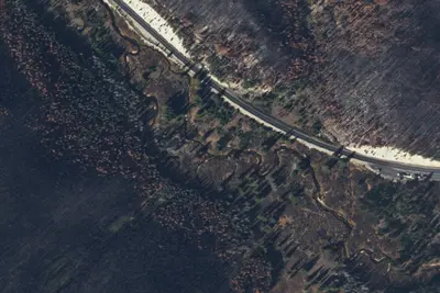
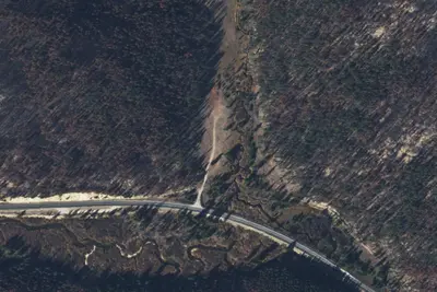
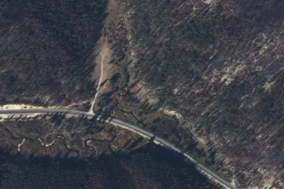
3 more within 25 mi
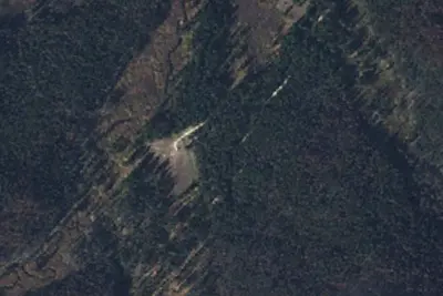
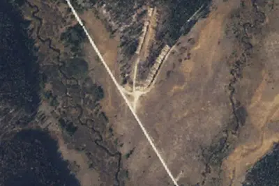
Nearby
The closest of each, in a straight line from here.
Dispersed camping nearby
Free dispersed camping within 19 mi, on public land.
Location and contact
Data from Recreation Information Database (RIDB) / Recreation.gov, Recreation.gov — campground rate cards, USDA Forest Service — Recreation Opportunities
Something wrong here? Suggest an edit
Run this campground? Claim the listing