Mattole Campground
Ferndale, California · 16 ft
At a glance
6 of 8 facts known · recreation.gov, checked Oct 3, 2026
- Elevation
- 16 ft (5 m)16 ft5 m
- Land
- Arcata Field Office
Bureau of Land Management
Amenities
From BLM National Recreation Sites & Facilities, OpenStreetMap, Recreation.gov · Correct
- Tent sites
From BLM National Recreation Sites & Facilities, OpenStreetMap, Recreation.gov
You could be the first camper hereYou could be the first camper on this page
Stayed here? Share what the next camper should know.
Free account · no email needed to browse
About
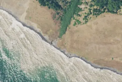
The Mattole Campground sits at the mouth of the Mattole River within the King Range National Conservation Area, offering one of the only low-cost coastal camping opportunities on California's north coast. The campground provides direct access to the Mattole River estuary and a short 600-foot trail through sand dunes leads to the beach. Wildlife viewing opportunities are excellent — elephant seals are commonly seen along the shore.
The campground serves as the northern trailhead of the renowned Lost Coast Trail, one of California's most spectacular coastal hiking routes. A 3.2-mile one-way hike from the campground leads to the historic Punta Gorda Lighthouse. Note that ocean swimming is strongly discouraged — rip currents, sneaker waves, sudden drop-offs, and powerful surf make these waters extremely dangerous.
From BLM National Recreation Sites & Facilities, OpenStreetMap, and Recreation.gov · · Edit
Good to know
- Stay limit: 14 days per calendar year within the King Range NCA
Cell service
Report signalFCC map: no coverage reported
- VerizonNo coverage on FCC map
- AT&TNo coverage on FCC map
- T-MobileNo coverage on FCC map
Cell service at Mattole Campground: FCC map Dec 2025
Weather
National Weather Service
- WedMostly Sunny, 1% chance of rain63°55°
- ThuSunny69°57°
- FriSunny, 2% chance of rain67°52°
- SatSunny, 2% chance of rain63°51°
- SunMostly Sunny, 2% chance of rain57°50°
Nearby camping
SeeSee all on the map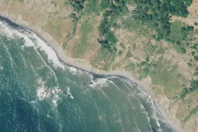
Sea Lion Gulch
Dispersed · 3.6 mi · Ferndale
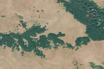
Camp site
Dispersed · 4.8 mi · Ferndale
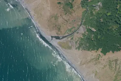
Cooskie Creek
Dispersed · 5.4 mi · Ferndale
3 more within 25 mi
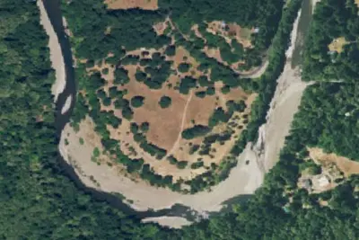
5 OpenStreetMap entries in Ferndale share one park. They may be individual sites of a single campground. Suggest a merge
Dispersed camping nearby
Free dispersed camping within 19 mi, on public land.
- 3.6 mi
Sea Lion Gulch
Ferndale, CA · On Bureau of Land Management land · Arcata Field Office
- 4.8 mi
Camp site
Ferndale, CA · On Bureau of Land Management land · Arcata Field Office
- 5.4 mi
Cooskie Creek
Ferndale, CA · On Bureau of Land Management land · Arcata Field Office
- 7.2 mi
Randall Creek
Shelter Cove, CA · On Bureau of Land Management land · Arcata Field Office
- 8.4 mi
Camp site
Shelter Cove, CA · On Bureau of Land Management land · Arcata Field Office
- 8.8 mi
Spanish Flats
Shelter Cove, CA · On Bureau of Land Management land · Arcata Field Office
Location and contact
Data from BLM National Recreation Sites & Facilities, OpenStreetMap, Recreation Information Database (RIDB) / Recreation.gov
Something wrong here? Suggest an edit
Run this campground? Claim the listing