Marys Peak Campground
Blodgett, Oregon · 3,537 ft
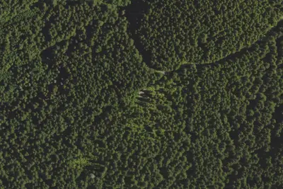
Aerial view · USGS / USDA NAIP · Public domain · source
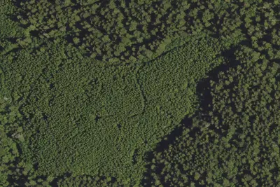
Photos taken nearby
From Wikimedia Commons, taken close to this campground — not necessarily pictures of it.
At a glance
3 of 8 facts known · Forest Service data, checked Oct 3, 2026
- Elevation
- 3,537 ft (1,078 m)3,537 ft1,078 m
- Land
- Siuslaw National Forest
U.S. Forest Service
Amenities
You could be the first camper hereYou could be the first camper on this page
Stayed here? Share what the next camper should know.
Free account · no email needed to browse
About
Marys Peak campground is on the highest peak in the Oregon Coast Range. Here you will find a quaint campground nestled among Douglas fir, noble fir, and western red cedar trees. Each site is equipped with a picnic table and campfire ring. A vault toilet is provided, but there is no drinking water. Just down the road from the Marys Peak Day Use Area, this peak has awe-inspiring views from the land to the sea.
Fees: Campsite fee:
From OpenStreetMap, USDA Forest Service — Recreation Opportunities, and USFS INFRA Recreation Sites · · Edit
Cell service
Report signal- Verizon4G LTE
- AT&T5G · 4G LTE
- T-Mobile4G LTE
Cell service at Marys Peak Campground: FCC map Dec 2025
Weather
National Weather Service
- WedSunny, 7% chance of rain60°48°
- ThuSunny65°50°
- FriSunny67°50°
- SatSlight Chance Light Rain, 20% chance of rain55°42°
- SunMostly Sunny then Chance Light Rain, 30% chance of rain53°44°
Nearby camping
SeeSee all on the map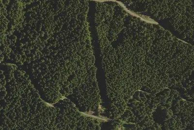
Camp site
Campground · 0.8 mi · Blodgett
Camp site
Campground · 0.8 mi · Blodgett
Camp site
Campground · 0.9 mi · Blodgett
3 more within 25 mi
Location and contact
Data from OpenStreetMap, USDA Forest Service — Recreation Opportunities, USFS INFRA Recreation Sites
Something wrong here? Suggest an edit
Run this campground? Claim the listing