Madison River (MT)
Madison Valley, Montana · 5,909 ft · In Beaverhead-Deerlodge National Forest
Photos: Google
At a glance
5 of 8 facts known · recreation.gov, checked Sep 24, 2026
- Elevation
- 5,909 ft (1,801 m)5,909 ft1,801 m
Loops2
Pick a loop to see its sites.
From recreation.gov's site list, Oct 10, 2026. Loop names are trimmed and merged.
Amenities
From OpenStreetMap, Overture Maps Foundation — Places, Recreation.gov, Recreation.gov — campground rate cards, USDA Forest Service — Recreation Opportunities, USFS INFRA Recreation Sites · Correct
- Campfires allowed
- Cell signal reported
From OpenStreetMap, Overture Maps Foundation — Places, Recreation.gov, Recreation.gov — campground rate cards, USDA Forest Service — Recreation Opportunities, USFS INFRA Recreation Sites
You could be the first camper hereYou could be the first camper on this page
Stayed here? Share what the next camper should know.
Free account · no email needed to browse
About
Overview
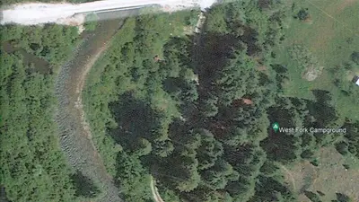
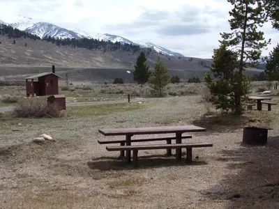
Madison River Campground is located in southwestern Montana just beyond the banks of it’s namesake river. It is approximately 34 miles south of Ennis and about 45 miles west of Yellowstone National Park. The ten site campground borders a Douglas Fir covered hillside to the back, with the Madison River just across the road, on the front side. Each site is equipped with a picnic table and fire ring. Vault toilets and drinking water taps are located near each site, along the one-way road. Visitors enjoy fishing, sight-seeing and nearby hiking and ATV trails. Riverview Campground is only about a quarter mile away and West Fork Campground is less than one mile and both are available on a “first come, first served” basis.
Campsite 8 can only be reserved 2 weeks in advance. All other sites can be reserved 6 months ahead of your arrival date, with the next day becoming available for reservations at 8 A.M. mountain time.
From OpenStreetMap, Overture Maps Foundation — Places, Recreation.gov, Recreation.gov — campground rate cards, USDA Forest Service — Recreation Opportunities, and USFS INFRA Recreation Sites · · Edit
Cell service
Report signal- Verizon4G LTE
- AT&T5G · 4G LTE
- T-Mobile5G · 4G LTE
Cell service at Madison River (MT): FCC map Dec 2025
Weather
National Weather Service
- WedPatchy Fog then Sunny55°25°
- ThuSunny57°27°
- FriSunny65°30°
- SatSunny64°31°
- SunSunny64°32°
Nearby camping
SeeSee all on the map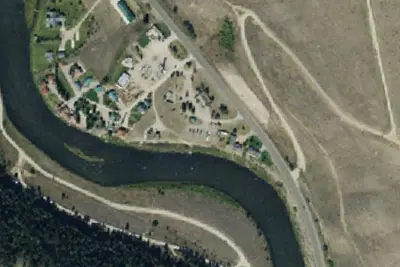
Dispersed camping nearby
Free dispersed camping within 19 mi, on public land.
Location and contact
Data from OpenStreetMap, Overture Maps Foundation — Places, Recreation Information Database (RIDB) / Recreation.gov, Recreation.gov — campground rate cards, USDA Forest Service — Recreation Opportunities, USFS INFRA Recreation Sites
Something wrong here? Suggest an edit
Run this campground? Claim the listing