Lower Saline Valley/Warm Springs Campground
Independence, California · 1,378 ft · In Death Valley National Park
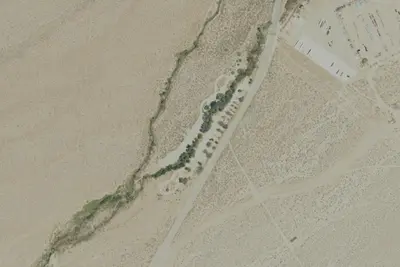
Aerial view · USGS / USDA NAIP · Public domain · source
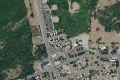
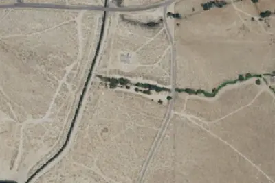
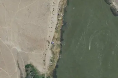
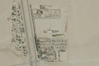
Photos taken nearby
From Wikimedia Commons, taken close to this campground — not necessarily pictures of it.
At a glance
3 of 8 facts known · inferred from the kind of place
- Elevation
- 1,378 ft (420 m)1,378 ft420 m
- Land
- Death Valley National Park
National Park Service
Other campgrounds in Death Valley National Park 15
Nearest first. Every place inside the park's boundary.
- Saline Valley Campground (Primitive)15 sites · Free0.3 mi
- Eureka Dunes Campground (Primitive)7 sites · Free22 mi
- Mesquite Spring Campground40 sites · $10–$20 a night25 mi
- Panamint Springs Resort Camping & RVCampground · facts not yet known36 mi
- Stovepipe Wells Campground190 sites · $9–$18 a night37 mi
- Stovepipe Wells RV Park14 sites · $40 a night · partial hookups37 mi
Also in the park: 5 backcountry and High Sierra camps · 5 single sites
Open the park pageAmenities
From OpenStreetMap · Correct
- Backcountry camping
- Tent sites
- Hours (24/7)
- Nudism permitted (customary)
From OpenStreetMap
You could be the first camper hereYou could be the first camper on this page
Stayed here? Share what the next camper should know.
Free account · no email needed to browse
About
This is a clothing-optional hot spring area approximately 35 miles from the nearest paved road. A high-clearance vehicle and all-terrain tires are necessary to access this campground and road/weather conditions may necessitate 4-wheel drive.
From OpenStreetMap · Edit
Cell service
Report signalFCC map: no coverage reported
- VerizonNo coverage on FCC map
- AT&TNo coverage on FCC map
- T-MobileNo coverage on FCC map
Cell service at Lower Saline Valley/Warm Springs Campground: FCC map Dec 2025
Weather
National Weather Service
- TueSunny76°58°
- WedSunny89°65°
- ThuSunny92°68°
- FriSunny91°66°
- SatSunny90°66°
Nearby camping
SeeSee all on the mapOutside the park, nearest first.
Location and contact
Data from OpenStreetMap
Something wrong here? Suggest an edit
Run this campground? Claim the listing