Lost Trail
Lake City, Colorado · 9,577 ft
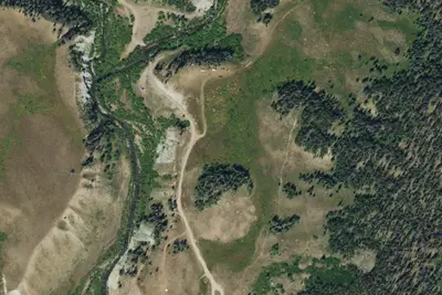
Aerial view · USGS / USDA NAIP · Public domain · source
Photos taken nearby
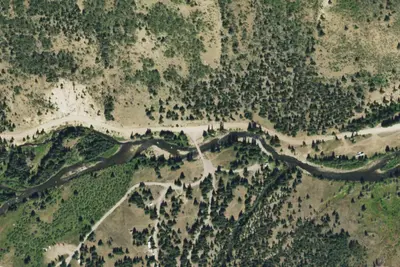
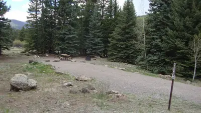
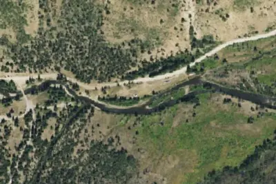
From Wikimedia Commons, taken close to this campground — not necessarily pictures of it.
Wildfire 20 mi N: Elk, 7,257 acres, 90% contained
At a glance
3 of 8 facts known · Forest Service data, checked Oct 3, 2026
- Elevation
- 9,577 ft (2,919 m)9,577 ft2,919 m
- Land
- Rio Grande National Forest
U.S. Forest Service
Amenities
You could be the first camper hereYou could be the first camper on this page
Stayed here? Share what the next camper should know.
Free account · no email needed to browse
About
The campground is located 38.2 miles southwest of Creede on Forest Road 520. There are numerous attractions to tempt the camper. Trails include: access to the Continental Divide, Lost Trail Creek Trail 821 to Carson City Mining area, West Lost Creek Trail 821 to Cataract Lake (A National Scenic Trail), Heart Lake Trail 823 to Heart Lake and Ute Creek Trail 819 to the Weminuche Wilderness. The 4 WD roads are Stony Pass (Forest Road 520) and Beartown/Kite Lake (Forest Road 506). Lost Trail Creek, Ute Creek and one mile from the upper end of Rio Grande Reservoir are all accessible fishing sites. The Sky Hi Ranch and Lost Trail Guest Ranch are adjacent to the campground. Do not use the private footbridge on the Sky Hi Ranch for any purpose. The facilities have 7 sites, each with a parking spur, table and fire ring. Firewood and refuse receptacles are not provided. There is only limited maneuvering for RV's and trailers and most of the spurs and pull-throughs are short and cannot accommodate large RV's or trailers. Screening and trees are limited. The campground is usually full from mid-June through the end of August.
Fees: Day Use:
From USFS INFRA Recreation Sites · · Edit
Cell service
Report signalFCC map: no coverage reported
- VerizonNo coverage on FCC map
- AT&TNo coverage on FCC map
- T-MobileNo coverage on FCC map
Cell service at Lost Trail: FCC map Dec 2025
Weather
National Weather Service
- WedSnow Showers, 97% chance of rain39°20°
- ThuMostly Sunny, 4% chance of rain44°20°
- FriSunny47°23°
- SatMostly Sunny, 8% chance of rain48°30°
- SunSlight Chance Snow Showers, 17% chance of rain47°26°
Nearby camping
SeeSee all on the map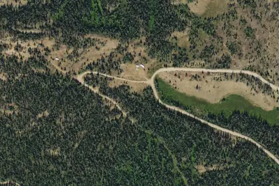
Camp site
Dispersed · 4.4 mi · Lake City
Thirty Mile Campground
Public Land · 5.9 mi · Lake City
Thirty Mile
Public Land · 5.9 mi · Lake City
3 more within 25 mi
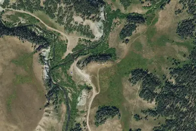
5 OpenStreetMap entries in Lake City share one park. They may be individual sites of a single campground. Suggest a merge
Dispersed camping nearby
Free dispersed camping within 19 mi, on public land.
- 4.4 mi
Camp site
Lake City, CO · On U.S. Forest Service land · Rio Grande National Forest
- 6.4 mi
Camp site
Silverton, CO · On U.S. Forest Service land · Rio Grande National Forest
- 6.4 mi
Camp site
Silverton, CO · On U.S. Forest Service land · Rio Grande National Forest
- 6.5 mi
Camp site
Silverton, CO · On U.S. Forest Service land · Rio Grande National Forest
- 6.5 mi
Camp site
Silverton, CO · On U.S. Forest Service land · Rio Grande National Forest
- 6.5 mi
Camp site
Silverton, CO · On U.S. Forest Service land · Rio Grande National Forest
Location and contact
Something wrong here? Suggest an edit
Run this campground? Claim the listing