Lonesome Beaver Campground
East Garfield, Utah · 8,166 ft
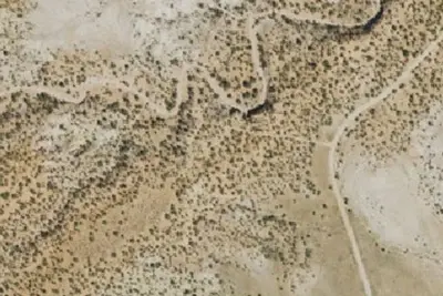
Aerial view · USGS / USDA NAIP · Public domain · source
At a glance
2 of 8 facts known · from OpenStreetMap and USGS
- Elevation
- 8,166 ft (2,489 m)8,166 ft2,489 m
- Land
- Richfield Field Office
Bureau of Land Management
Amenities
You could be the first camper hereYou could be the first camper on this page
Stayed here? Share what the next camper should know.
Free account · no email needed to browse
About
Lonesome Beaver Campground lies in the middle of Sawmill Basin and sits at an elevation of over 8,000 feet. Due to road conditions the campground can be challenging to access. However, the setting and experience are worth the drive. Lonesome Beaver is a five site campground and offers parking areas, picnic tables, fire rings, grills, benches, potable water, and accessible restrooms. Season May - October.
From BLM National Recreation Sites & Facilities, OpenStreetMap, and Recreation.gov · Edit
Cell service
Report signalFCC map: no coverage reported
- VerizonNo coverage on FCC map
- AT&TNo coverage on FCC map
- T-MobileNo coverage on FCC map
Cell service at Lonesome Beaver Campground: FCC map Dec 2025
Weather
National Weather Service
- WedSnow Showers Likely, 74% chance of rain38°34°
- ThuSunny, 3% chance of rain43°37°
- FriSunny45°38°
- SatMostly Sunny, 5% chance of rain45°38°
- SunSunny, 1% chance of rain48°39°
Nearby camping
SeeSee all on the map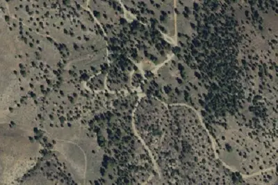
McMillan Spring Campground
Public Land · 4.7 mi · East Garfield
Dirty Devil Overlook
Campground · 18 mi · Hanksville
Offroad RV Resort
RV Park · 18 mi · Hanksville
3 more within 25 mi
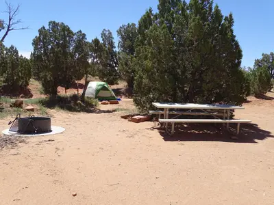
Dispersed camping nearby
Free dispersed camping within 19 mi, on public land.
Location and contact
Data from BLM National Recreation Sites & Facilities, OpenStreetMap, Recreation Information Database (RIDB) / Recreation.gov
Something wrong here? Suggest an edit
Run this campground? Claim the listing