Littleton
Forks, Washington · 1,106 ft
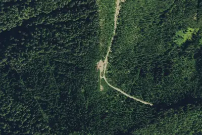
Aerial view · USGS / USDA NAIP · Public domain · source
At a glance
3 of 8 facts known · Forest Service data, checked Oct 3, 2026
- Elevation
- 1,106 ft (337 m)1,106 ft337 m
- Land
- Olympic National Forest
U.S. Forest Service
Amenities
You could be the first camper hereYou could be the first camper on this page
Stayed here? Share what the next camper should know.
Free account · no email needed to browse
About
From the Littleton Horse Camp and Mt. Muller Trailhead, explore over 25 miles of trail from two different trail systems, including Mt. Muller, Snider Ridge, and Olympic Discovery trails. One section has several pole corals with walk-in tent sites scattered around them. Another area has large back-in and a pull-through sites with hitching rails. Some walk-in tent sites have fire rings and none have grilles. Most campsites enjoy ample shade. ; No potable water for human consumption. From spring through fall the Backcountry Horsemen provide a non-potable water system that supplies water for stock use only. ; Note: Vehicle parking spur sites are reserved for stock use until 6:00 pm. Walk-in sites are first come, first serve for all users. Special thanks to Backcountry Horsemen volunteers and Clallam County for making this site possible.
Fees: Overnight Use:
From USFS INFRA Recreation Sites · · Edit
Cell service
Report signal- Verizon4G LTE
- AT&T5G · 4G LTE
- T-Mobile4G LTE
Cell service at Littleton: FCC map Dec 2025
Weather
National Weather Service
- WedChance Light Rain then Partly Sunny, 28% chance of rain63°45°
- ThuSunny69°48°
- FriMostly Sunny then Slight Chance Light Rain, 22% chance of rain71°46°
- SatChance Light Rain then Partly Sunny, 53% chance of rain56°37°
- SunPartly Sunny, 14% chance of rain55°39°
Nearby camping
SeeSee all on the map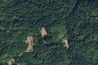
Littleton Horse Camp
Public Land · 120 ft · Forks
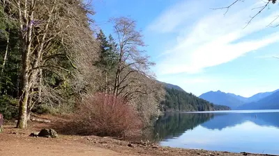
Fairholme Campground
National Park · 4.5 mi · Crescent
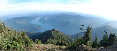
Klahowya Campground
Public Land · 4.5 mi · Forks
3 more within 25 mi
3 OpenStreetMap entries in Forks share one park. They may be individual sites of a single campground. Suggest a merge
Dispersed camping nearby
Free dispersed camping within 19 mi, on public land.
- 6.0 mi
Backcountry Camping
Forks, WA · On U.S. Forest Service land · Olympic National Forest
- 6.4 mi
Sadie Creek Campground
Crescent, WA · On State agency land · Washington State Department of Natural Resources (WADNR) State Resource Management Area
- 9.8 mi
Lyre River Campground
Port Angeles, WA · On State agency land · Washington State Department of Natural Resources (WADNR) State Resource Management Area
- 11 mi
Dispersed Camping Area
Forks, WA · On U.S. Forest Service land · Olympic National Forest
- 11 mi
Hyak
Crescent, WA · On National Park Service land · Olympic National Park
- 11 mi
Mink Lake Campground
Crescent, WA · On National Park Service land · Olympic National Park
Location and contact
Data from USFS INFRA Recreation Sites
Something wrong here? Suggest an edit
Run this campground? Claim the listing