Lithia Springs
Shelbyville, Illinois · 653 ft · In Lake Shelbyville
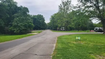
Photos: USACE
At a glance
6 of 8 facts known · recreation.gov, checked Sep 24, 2026
- Elevation
- 653 ft (199 m)653 ft199 m
Loops4
Pick a loop to see its sites.
From recreation.gov's site list, Oct 10, 2026: 5 staff entries left out. Loop names are trimmed and merged.
Amenities
From OpenStreetMap, Recreation.gov, Recreation.gov — campground rate cards · Correct
- Campfires allowed
From OpenStreetMap, Recreation.gov, Recreation.gov — campground rate cards
You could be the first camper hereYou could be the first camper on this page
Stayed here? Share what the next camper should know.
Free account · no email needed to browse
About
Overview
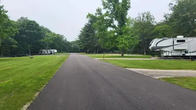
Lithia Springs Campground sits on the eastern shore of Lake Shelbyville in the heart of central Illinois. This facility has a variety of amenities and offers outdoor activities for people of all ages, including fishing, swimming, picnicking and simply relaxing.
Visit the Lake Shelbyville, U.S. Army Corps of Engineers for News Releases, Event Information, & Emergency Updates. https://www.facebook.com/LakeShelbyvilleUSACE
From OpenStreetMap, Recreation.gov, and Recreation.gov — campground rate cards · · Edit
Cell service
Report signal- Verizon4G LTE
- AT&T5G · 4G LTE
- T-Mobile5G · 4G LTE
Cell service at Lithia Springs: FCC map Dec 2025
Weather
National Weather Service
- WedShowers And Thunderstorms Likely, 73% chance of rain78°62°
- ThuShowers And Thunderstorms, 95% chance of rain80°47°
- FriMostly Sunny, 14% chance of rain59°35°
- SatAreas Of Frost then Sunny62°36°
- SunSunny69°44°
Nearby camping
SeeSee all on the map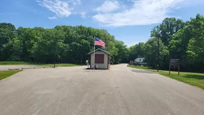
Opossum Creek
Public Land · 1.0 mi · Shelbyville
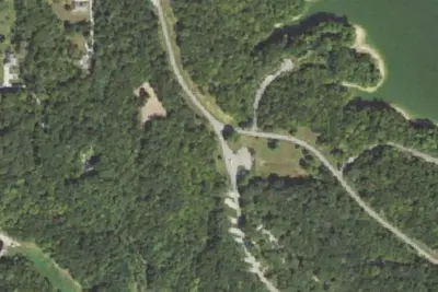
Camp site
Campground · 1.1 mi · Shelbyville
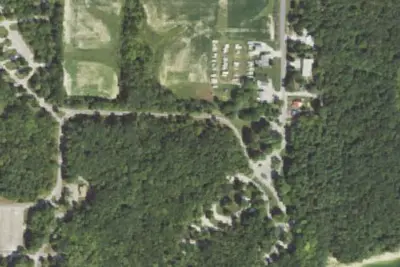
Coon Creek (Il)
Public Land · 1.2 mi · Shelbyville
3 more within 25 mi
Location and contact
Data from OpenStreetMap, Recreation Information Database (RIDB) / Recreation.gov, Recreation.gov — campground rate cards
Something wrong here? Suggest an edit
Run this campground? Claim the listing