Line Creek Stock Campground
Avery-Clarkia, Idaho · 3,737 ft · In Idaho Panhandle National Forests
USDA Forest Service · source
Wildfire 16 mi SE: Moose Mountain, 5,832 acres, 90% contained
At a glance
5 of 8 facts known · recreation.gov, checked Sep 24, 2026
- Elevation
- 3,737 ft (1,139 m)3,737 ft1,139 m
Loops1
Pick a loop to see its sites.
From recreation.gov's site list, Oct 10, 2026. Loop names are trimmed and merged.
Amenities
You could be the first camper hereYou could be the first camper on this page
Stayed here? Share what the next camper should know.
Free account · no email needed to browse
About
Overview
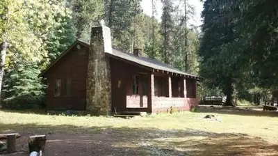
The Line Creek Stock Camp is located 87 miles from St. Maries Idaho up the St. Joe River on Forest Highway 50. It is at 3800 feet elevation and on the designated Wild and Scenic St. Joe River. The campground includes 7 pull-through camping units (5 available for stock reservations), facilities for stock animals, firepits and vault toilets.
Recreation
Catch and release fishing is a primary activity in the upper St. Joe River. The campground is ideally situated for stock riding. The terrain is steep with over 100 miles of non-motorized and 60 miles of multiple use trail. These can be traveled for day rides and/ or packins. Day hikes and backpacking opportunities are also enjoyed. Many of the trails are accessed directly out of the campground. The St. Joe River Trail 48 winds along beside the St. Joe River for 18 miles to its endpoint at Heller Campground. The Line Creek Stock Camp is also ideally situated for driving for pleasure with primitive roads to travel: to Heller Campground and Montana, to the Surveyors Lookout and other sites along Forest Road 201, to the Snow Peak trailhead and up into Gold Creek and over Gold Pass towards St. Regis Montana. There are three rental opportunities in the area: Red Ives Ranger cabin, Beaver Creek A-frame and Surveyors Lookout. There are four other campgrounds in the close vicinity.
From OpenStreetMap, Recreation.gov, Recreation.gov — campground rate cards, and USFS INFRA Recreation Sites · · Edit
Cell service
Report signalFCC map: no coverage reported
- VerizonNo coverage on FCC map
- AT&TNo coverage on FCC map
- T-MobileNo coverage on FCC map
Cell service at Line Creek Stock Campground: FCC map Sep 2026
Weather
National Weather Service
- WedSunny, 1% chance of rain54°35°
- ThuSunny59°39°
- FriMostly Sunny65°45°
- SatMostly Sunny60°37°
- SunSunny, 2% chance of rain57°41°
Nearby camping
SeeSee all on the map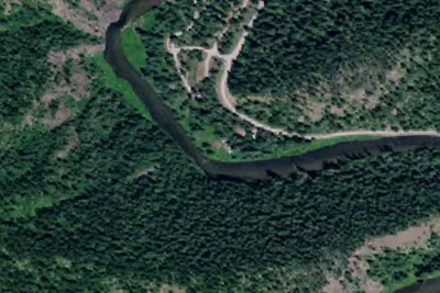
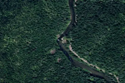
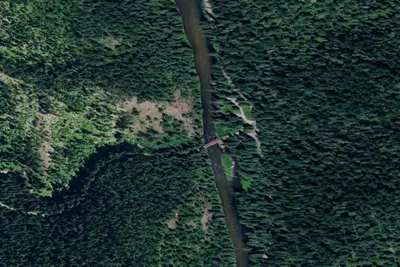
Dispersed camping nearby
Free dispersed camping within 19 mi, on public land.
Location and contact
Data from OpenStreetMap, Recreation Information Database (RIDB) / Recreation.gov, Recreation.gov — campground rate cards, USFS INFRA Recreation Sites
Something wrong here? Suggest an edit
Run this campground? Claim the listing