Left Tailrace
Fort Thompson, South Dakota · 1,368 ft · In Sharpe Recreation Area
Photos: U.S. Army Corps Of Engineers
At a glance
6 of 8 facts known · recreation.gov, checked Sep 24, 2026
- Elevation
- 1,368 ft (417 m)1,368 ft417 m
Loops5
Pick a loop to see its sites.
From recreation.gov's site list, Oct 10, 2026: 2 staff entries left out. Loop names are trimmed and merged.
Other campgrounds in Sharpe Recreation Area 2
Nearest first. Every place inside the park's boundary.
Also in the park: 1 backcountry camp · 2 single sites
Open the park pageAmenities
From Recreation.gov, Recreation.gov — campground rate cards · Correct
- ADA accessible
- Campfires allowed
From Recreation.gov, Recreation.gov — campground rate cards
You could be the first camper hereYou could be the first camper on this page
Stayed here? Share what the next camper should know.
Free account · no email needed to browse
About
Overview
Left Tailrace Campgound at the U.S. Army Corps of Engineers - Big Bend Project, sits on the shore of Lake Francis Case on the Missouri River below Big Bend Dam. Just upstream of Left Tailrace, Lake Sharpe, a popular recreation destination in the Great Plains,was created by the completion of Big Bend Dam in 1966.
Today, approximately 80,000 acres of public lands and water provide a variety of benefits to the public including flood control, recreation, conservation of our natural resources, fish and wildlife habitat, irrigation, and hydropower production.
From Recreation.gov and Recreation.gov — campground rate cards · · Edit
Cell service
Report signal- Verizon4G LTE
- AT&T5G · 4G LTE
- T-Mobile5G · 4G LTE
Cell service at Left Tailrace: FCC map Dec 2025
Weather
National Weather Service
- WedPatchy Frost then Mostly Sunny, 2% chance of rain59°44°
- ThuRain Showers Likely, 59% chance of rain61°36°
- FriSunny, 1% chance of rain55°38°
- SatSunny71°45°
- SunSunny68°42°
Nearby camping
SeeSee all on the mapOutside the park, nearest first.
Lode Star Casino & Restaurant
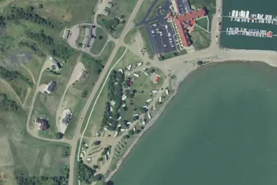
Overnight Parking · 2.0 mi · Fort Thompson
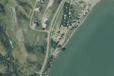
RV park
RV Park · 15 mi · Oacoma
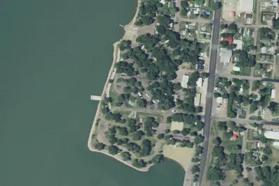
RV park
RV Park · 16 mi · Oacoma
3 more within 25 mi
Dispersed camping nearby
Free dispersed camping within 19 mi, on public land.
- 0.3 mi
Right Tailrace - COE
Fort Thompson, SD · On U.S. Army Corps of Engineers land · Sharpe Recreation Area
- 1.4 mi
Old Fort Thompson - COE
Fort Thompson, SD · On U.S. Army Corps of Engineers land · Sharpe Recreation Area
- 2.7 mi
North Shore -COE
Fort Thompson, SD · On U.S. Army Corps of Engineers land · Sharpe Recreation Area
- 18 mi
Dude Rach DFG
Oacoma, SD · On State agency land · Dude Ranch
Location and contact
Data from Recreation Information Database (RIDB) / Recreation.gov, Recreation.gov — campground rate cards
Something wrong here? Suggest an edit
Run this campground? Claim the listing