Lava Point Campground
Springdale, Utah · 7,897 ft · In Zion National Park
Photos: NPS
At a glance
5 of 8 facts known · recreation.gov, checked Oct 3, 2026
- Elevation
- 7,897 ft (2,407 m)7,897 ft2,407 m
Sites6
Lava Point Campground lists no loops, so its sites are listed here. Pick a site to see its details.
From recreation.gov's site list, Oct 10, 2026.
Other campgrounds in Zion National Park 2
Nearest first. This park is spread out: the closest is 12 miles away.
- South Campground (Ut)3 loops · A, A Loop, B · 124 sites · $35 a night · Reserve on Recreation.gov13 mi
- Watchman Campground6 loops · Loop A, Loop B, Loop C, Loop D, Loop F, Zion Group Sites · 184 sites · $35–$45 a night · partial hookups · Reserve on Recreation.gov13 mi
Also in the park: 18 backcountry and High Sierra camps · 9 single sites
Open the park pageAmenities
From National Park Service — campgrounds, OpenStreetMap, Overture Maps Foundation — Places, Recreation.gov, Recreation.gov — campground rate cards · Correct
- Caravan / RV sites
- Tent sites
- Toilets
From National Park Service — campgrounds, OpenStreetMap, Overture Maps Foundation — Places, Recreation.gov, Recreation.gov — campground rate cards
You could be the first camper hereYou could be the first camper on this page
Stayed here? Share what the next camper should know.
Free account · no email needed to browse
About
Overview
Lava Point is a primitive campground, typically open May through September, as weather allows. Situated at 7890 feet (2405 m) above sea level, it is off the Kolob Terrace Road, 25 miles (40 km) or 45 minutes north of the town of Virgin. It takes approximately 1 hour 20 minutes to drive to the campground from the South Entrance of Zion Canyon.
Recreation
Barney's Trail leaves from the campground and provides access to Lava Point Overlook and the West Rim Trail. The campground is also excellent for wildlife watching and stargazing.
From National Park Service — campgrounds, OpenStreetMap, Overture Maps Foundation — Places, Recreation.gov, and Recreation.gov — campground rate cards · · Edit
Cell service
Report signalFCC map: no coverage reported
- VerizonNo coverage on FCC map
- AT&TNo coverage on FCC map
- T-MobileNo coverage on FCC map
Cell service at Lava Point Campground: FCC map Dec 2025
Weather
National Weather Service
- TueSnow Showers Likely, 73% chance of rain40°24°
- WedSunny, 3% chance of rain46°27°
- ThuSunny57°32°
- FriSunny57°33°
- SatMostly Sunny, 2% chance of rain55°32°
Nearby camping
SeeSee all on the mapOutside the park, nearest first.
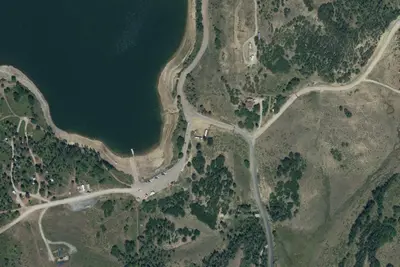
Kolob Campground
Campground · 3.5 mi · Kanarraville
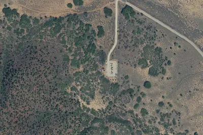
Lambs Knoll Campground
Dispersed · 6.6 mi · La Verkin
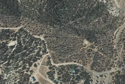
Zion Ponderosa Ranch Resort
Campground · 11 mi · Springdale
3 more within 25 mi
Dispersed camping nearby
Free dispersed camping within 19 mi, on public land.
- 1.3 mi
Campsite 9
Springdale, UT · On National Park Service land · Zion National Park
- 5.0 mi
Campsite 7
Springdale, UT · On National Park Service land · Zion National Park
- 5.0 mi
Campsite 8
Springdale, UT · On National Park Service land · Zion National Park
- 6.0 mi
Campsite 6
Springdale, UT · On National Park Service land · Zion National Park
- 6.6 mi
Lambs Knoll Campground
La Verkin, UT · On Bureau of Land Management land · St. George Field Office
- 6.9 mi
Campsite 5
Springdale, UT · On National Park Service land · Zion National Park
Location and contact
Data from National Park Service — campgrounds (NPS Data API), OpenStreetMap, Overture Maps Foundation — Places, Recreation Information Database (RIDB) / Recreation.gov, Recreation.gov — campground rate cards
Something wrong here? Suggest an edit
Run this campground? Claim the listing