Lane Creek Campground
Ukiah, Oregon · 3,832 ft
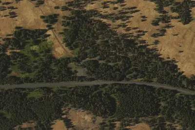
Aerial view · USGS / USDA NAIP · Public domain · source
Wildfire 28 mi SE: McCully, 13,604 acres, 91% contained
At a glance
3 of 8 facts known · Forest Service data, checked Oct 3, 2026
- Elevation
- 3,832 ft (1,168 m)3,832 ft1,168 m
- Land
- Umatilla National Forest
U.S. Forest Service
Amenities
You could be the first camper hereYou could be the first camper on this page
Stayed here? Share what the next camper should know.
Free account · no email needed to browse
About
Lane Creek Campground; is set among open, large, Ponderosa pine. ; It features; 7 campsties and; an accessible; toilet. There is no potable water or garbage service, so; please; pack; your garbage home. This campground offers hunting and photo opportunities. It is also; near the Bear Wallow Interpretive Trail, a 1/4 mile trail that interprets the lifecycle of steelhead fish.
Fees: Overnight Use:
From OpenStreetMap, USDA Forest Service — Recreation Opportunities, and USFS INFRA Recreation Sites · · Edit
Cell service
Report signalFCC map: no coverage reported
- VerizonNo coverage on FCC map
- AT&TNo coverage on FCC map
- T-MobileNo coverage on FCC map
Cell service at Lane Creek Campground: FCC map Dec 2025
Weather
National Weather Service
- WedWidespread Frost then Sunny, 2% chance of rain62°34°
- ThuSunny71°42°
- FriSunny74°41°
- SatMostly Sunny67°33°
- SunSunny, 1% chance of rain65°36°
Nearby camping
SeeSee all on the map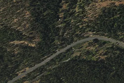
Camp site
Campground · 170 ft · Ukiah
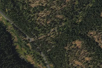
Bear Wallow Campground
Campground · 0.8 mi · Ukiah
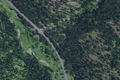
Bear Wallow Creek Campground
Public Land · 0.8 mi · Ukiah
3 more within 25 mi
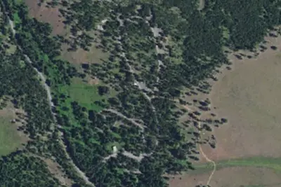
5 OpenStreetMap entries in Ukiah share one park. They may be individual sites of a single campground. Suggest a merge
Location and contact
Data from OpenStreetMap, USDA Forest Service — Recreation Opportunities, USFS INFRA Recreation Sites
Something wrong here? Suggest an edit
Run this campground? Claim the listing