Lake Conasauga Campground
Eton, Georgia · 3,140 ft · In Chattahoochee-Oconee National Forest
Photos: Alan Orth
At a glance
6 of 8 facts known · recreation.gov, checked Oct 3, 2026
- Elevation
- 3,140 ft (957 m)3,140 ft957 m
Loops2
Pick a loop to see its sites.
From recreation.gov's site list, Oct 10, 2026: 7 staff entries left out. Loop names are trimmed and merged.
How we name loops
“Overflow” is a staff entry, not a campsite, and is left out.
Amenities
From OpenStreetMap, Recreation.gov, Recreation.gov — campground rate cards, USDA Forest Service — Recreation Opportunities, USFS INFRA Recreation Sites · Correct
- Campfires allowed
From OpenStreetMap, Recreation.gov, Recreation.gov — campground rate cards, USDA Forest Service — Recreation Opportunities, USFS INFRA Recreation Sites
You could be the first camper hereYou could be the first camper on this page
Stayed here? Share what the next camper should know.
Free account · no email needed to browse
About
Overview
The Lake Conasauga Recreation Area is a remote recreation area located within the Chattahoochee National Forest in northwest Georgia. Getting to Lake Conasauga involves a beautiful forested drive along 15 or more miles of graveled mountain roads through the Cohutta Mountains. Visitors may occasionally see bear, deer, and turkeys on their drive. Wildflowers can be found blooming from February through November in various parts of the mountains.
Completed in 1940, Lake Conasauga was built by the Civilian Conservation Corps (CCC) under the guidance of the U.S. Forest Service. Tucked between Grassy Mountain and Little Bald Mountain, the 17 acre lake sits at an elevation of 3,150 feet, making it the highest elevation lake in the State of Georgia. At this elevation, air temperatures at Lake Conasauga are usually 10-15 degrees cooler than the surrounding valleys, allowing for a comfortable camping experience even in the middle of summer.
From OpenStreetMap, Recreation.gov, Recreation.gov — campground rate cards, USDA Forest Service — Recreation Opportunities, and USFS INFRA Recreation Sites · · Edit
Cell service
Report signal- Verizon4G LTE
- AT&TNo coverage on FCC map
- T-MobileNo coverage on FCC map
Cell service at Lake Conasauga Campground: FCC map Dec 2025
Weather
National Weather Service
- WedPatchy Fog then Sunny75°64°
- ThuSunny75°63°
- FriSunny, 2% chance of rain70°45°
- SatSunny54°42°
- SunSunny56°46°
Nearby camping
SeeSee all on the map
Ball Field Dispersed Camping Area
Dispersed · 0.5 mi · Eton
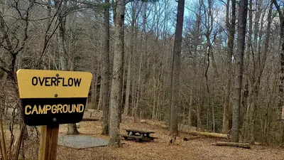
Lake Conasauga Overflow Campground
Public Land · 0.6 mi · Eton
Ball Field Group Camp
Campground · 0.6 mi · Eton
3 more within 25 mi
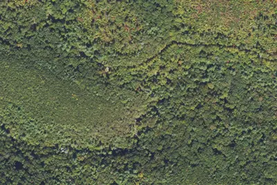
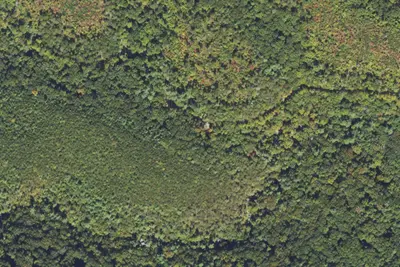
4 OpenStreetMap entries in Eton share one park. They may be individual sites of a single campground. Suggest a merge
Dispersed camping nearby
Free dispersed camping within 19 mi, on public land.
- 0.5 mi
Ball Field Dispersed Camping Area
Eton, GA · On State agency land · Cohutta Wildlife Management Area
- 2.6 mi
Hickey Gap Forest Service Camping Area
Eton, GA · On State agency land · Cohutta Wildlife Management Area
- 6.1 mi
Bear Creek Campground
Ellijay, GA · On State agency land · Cohutta Wildlife Management Area
Location and contact
Data from OpenStreetMap, Recreation Information Database (RIDB) / Recreation.gov, Recreation.gov — campground rate cards, USDA Forest Service — Recreation Opportunities, USFS INFRA Recreation Sites
Something wrong here? Suggest an edit
Run this campground? Claim the listing