Kiwanis Park
Fort Peck, Montana · 2,051 ft · In Fort Peck Recreation Area
Photos: US Army Corps of Engineers
At a glance
5 of 8 facts known · recreation.gov, checked Sep 24, 2026
- Elevation
- 2,051 ft (625 m)2,051 ft625 m
Sites4
Kiwanis Park lists no loops, so its sites are listed here. Pick a site to see its details.
From recreation.gov's site list, Oct 10, 2026.
Other campgrounds in Fort Peck Recreation Area 8
Nearest first. Every place inside the park's boundary.
- Downstream (MT)7 loops · Faranuf, Group, Kiwanis Park Day Use Shelters, Lismas, New Deal, West End Shelters, Wheeler · $15–$30 a night · full hookups · Reserve on Recreation.govunder 100 ft
- Boomtown Shelter$50 a night · partial hookups · Reserve on Recreation.gov2.5 mi
- Perch Point 1 & 2$35–$75 a night · partial hookups · Reserve on Recreation.gov2.9 mi
- Fort Peck RV ParkRV Park · facts not yet known3.0 mi
- West End CampgroundPublic Land · facts not yet known3.3 mi
- West End Tent and Trailer Campground3 loops · OLD Overflow, Overflow, West End Loop · $15–$25 a night · partial hookups · Reserve on Recreation.gov3.3 mi
Also in the park: Run by another agency: James Kipp Campground 108 mi · 2 single sites
Open the park pageAmenities
From Recreation.gov, Recreation.gov — campground rate cards · Correct
- ADA accessible
- Cell signal reported
- Playground
- Toilets
- Trash / dumpster
From Recreation.gov, Recreation.gov — campground rate cards
You could be the first camper hereYou could be the first camper on this page
Stayed here? Share what the next camper should know.
Free account · no email needed to browse
About
Overview
Kiwanis Park is located just below Fort Peck Dam on the Missouri River in northeastern Montana. Recreation enthusiasts and sportsmen enjoy the beauty of Fort Peck Lake's 1,500 miles of shoreline. A variety of high quality outdoor activities are available, including camping, boating, fishing, hunting, sightseeing and wildlife viewing.
Fort Peck Dam, which impounds Fort Peck Lake is the first dam built in the upper Missouri River Basin. The area surrounding Fort Peck was first charted by Lewis and Clark in 1804, and the pristine natural condition of the river and surrounding area awed the renowned explorers. When President Franklin D. Roosevelt authorized the Fort Peck project in 1933, thousands of people from all over the country migrated to Montana during the midst of the Great Depression in hopes of earning a living. Today, Fort Peck Lake is a sportsman's paradise with excellent fishing, wildlife viewing and other countless outdoor recreation opportunities.
From Recreation.gov and Recreation.gov — campground rate cards · · Edit
Cell service
Report signal- Verizon5G · 4G LTE
- AT&T5G · 4G LTE
- T-Mobile5G · 4G LTE
Cell service at Kiwanis Park: FCC map Dec 2025
Weather
National Weather Service
- TueMostly Sunny48°31°
- WedMostly Sunny56°40°
- ThuSunny54°37°
- FriSunny63°45°
- SatSunny70°47°
Nearby camping
SeeSee all on the mapOutside the park, nearest first.
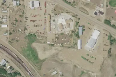
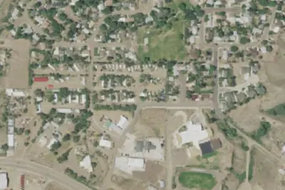
Location and contact
Data from Recreation Information Database (RIDB) / Recreation.gov, Recreation.gov — campground rate cards
Something wrong here? Suggest an edit
Run this campground? Claim the listing