Kings Hill Campground
Neihart, Montana · 7,411 ft
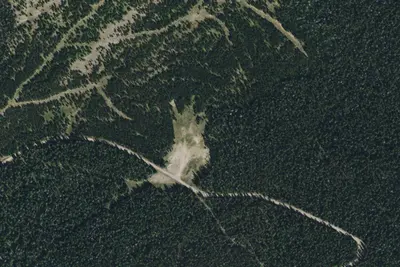
Aerial view · USGS / USDA NAIP · Public domain · source
At a glance
3 of 8 facts known · Forest Service data, checked Oct 3, 2026
- Elevation
- 7,411 ft (2,259 m)7,411 ft2,259 m
- Land
- Lewis & Clark National Forest
U.S. Forest Service
Amenities
From OpenStreetMap, USDA Forest Service — Recreation Opportunities, USFS INFRA Recreation Sites · Correct
- Drinking water
- Toilets
From OpenStreetMap, USDA Forest Service — Recreation Opportunities, USFS INFRA Recreation Sites
You could be the first camper hereYou could be the first camper on this page
Stayed here? Share what the next camper should know.
Free account · no email needed to browse
About
At approximately an 8000-foot elevation, Kings Hill Campground is the highest developed campground in the Little Belt Mountains. The 18 campsites are situated near the top of Kings Hill Pass on US Highway 89. Kings Hill Campground generally opens in mid to late June and is the first to close in the fall around the end of September. The largest slot for a trailer is 35 feet in length. During fire season, nearby Porphyry Peak Lookout offers amazing views from the manned fire tower dating back to 1960. Visitors are welcome to go up into the Lookout if staff are available. A network of roads and ATV trails can be reached going west from the campground between July 1st and August 31st.Bears may frequent the area; keep all food out of sight in approved containers and remove all food from area after eating. Mandatory food storage is required.
Fees: Overnight Use:
From OpenStreetMap, USDA Forest Service — Recreation Opportunities, and USFS INFRA Recreation Sites · · Edit
Cell service
Report signalFCC map: no coverage reported
- VerizonNo coverage on FCC map
- AT&TNo coverage on FCC map
- T-MobileNo coverage on FCC map
Cell service at Kings Hill Campground: FCC map Sep 2026
Weather
National Weather Service
- WedMostly Cloudy38°20°
- ThuSunny37°22°
- FriSunny50°33°
- SatMostly Sunny52°30°
- SunSunny47°31°
Nearby camping
SeeSee all on the map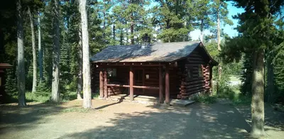
Kings Hill Cabin
Public Land · 0.1 mi · Neihart
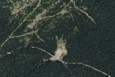
Memorial Way-487-04
Dispersed · 2.7 mi · Neihart
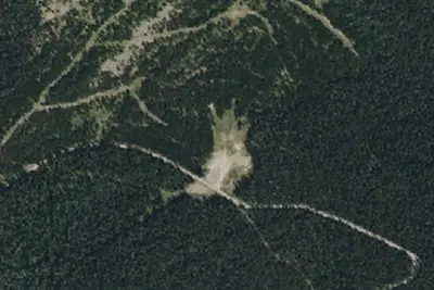
Memorial Way-487-03
Dispersed · 2.7 mi · Neihart
3 more within 25 mi
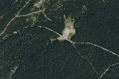
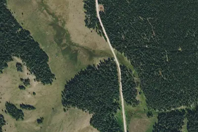
Dispersed camping nearby
Free dispersed camping within 19 mi, on public land.
Location and contact
Data from OpenStreetMap, USDA Forest Service — Recreation Opportunities, USFS INFRA Recreation Sites
Something wrong here? Suggest an edit
Run this campground? Claim the listing