Kentucky Camp Cabin and Headquarters Building
Sonoita, Arizona · 5,151 ft · In Coronado National Forest
Photos: Coronado National Forest
At a glance
4 of 8 facts known · recreation.gov, checked Sep 24, 2026
- Elevation
- 5,151 ft (1,570 m)5,151 ft1,570 m
Sites1
Kentucky Camp Cabin and Headquarters Building lists no loops, so its sites are listed here. Pick a site to see its details.
All 1 shown · by site number
From recreation.gov's site list, Oct 10, 2026.
Amenities
From Recreation.gov, Recreation.gov — campground rate cards · Correct
- Campfires allowed
- Drinking water
- Toilets
From Recreation.gov, Recreation.gov — campground rate cards
You could be the first camper hereYou could be the first camper on this page
Stayed here? Share what the next camper should know.
Free account · no email needed to browse
About
Overview
Kentucky Camp Cabin and Headquarters is located in the Santa Rita Mountains near Sonoita, Arizona in the Coronado National Forest. The five adobe buildings originally served as headquarters for the Santa Rita Water and Mining Company from 1902 to 1906. The facility also served as a cattle ranch from the 1920s through the 1960s. The Forest Service acquired the land in 1989 and it has since become an ideal location for guests seeking a unique lodging experience, rich in mining and ranching history.
For a more detailed look at Kentucky Camp's history and facilities, please click here
From Recreation.gov and Recreation.gov — campground rate cards · · Edit
Cell service
Report signal- Verizon4G LTE
- AT&T4G LTE
- T-MobileNo coverage on FCC map
Cell service at Kentucky Camp Cabin and Headquarters Building: FCC map Dec 2025
Weather
National Weather Service
- TueMostly Sunny, 10% chance of rain73°48°
- WedSunny72°44°
- ThuSunny78°53°
- FriSunny, 13% chance of rain68°47°
- SatChance Rain Showers then Slight Chance Showers And Thunderstorms, 26% chance of rain70°48°
Nearby camping
SeeSee all on the map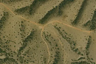
Kentucky Camp
Public Land · under 100 ft · Sonoita
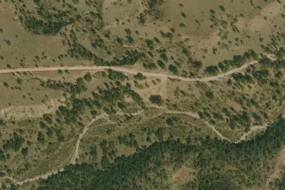
Camp site
Dispersed · 2.1 mi · Sonoita
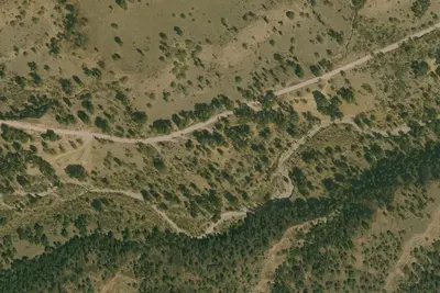
Camp site
Dispersed · 2.2 mi · Sonoita
3 more within 25 mi
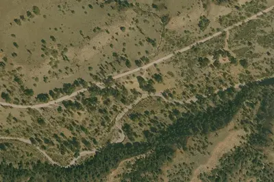
6 OpenStreetMap entries in Sonoita share one park. They may be individual sites of a single campground. Suggest a merge
Dispersed camping nearby
Free dispersed camping within 19 mi, on public land.
- 2.1 mi
Camp site
Sonoita, AZ · On U.S. Forest Service land · Coronado National Forest
- 2.2 mi
Camp site
Sonoita, AZ · On U.S. Forest Service land · Coronado National Forest
- 2.3 mi
Camp site
Sonoita, AZ · On U.S. Forest Service land · Coronado National Forest
- 2.3 mi
Camp site
Sonoita, AZ · On U.S. Forest Service land · Coronado National Forest
- 2.4 mi
Camp site
Sonoita, AZ · On U.S. Forest Service land · Coronado National Forest
- 2.4 mi
Camp site
Sonoita, AZ · On U.S. Forest Service land · Coronado National Forest
Location and contact
Data from Recreation Information Database (RIDB) / Recreation.gov, Recreation.gov — campground rate cards
Something wrong here? Suggest an edit
Run this campground? Claim the listing