Kent Springs Cabin
Elephant Head, Arizona · 5,341 ft · In Coronado National Forest
Photos: FS
At a glance
5 of 8 facts known · recreation.gov, checked Sep 24, 2026
- Elevation
- 5,341 ft (1,628 m)5,341 ft1,628 m
Sites1
Kent Springs Cabin lists no loops, so its sites are listed here. Pick a site to see its details.
All 1 shown · by site number
From recreation.gov's site list, Oct 10, 2026.
Amenities
From Recreation.gov, Recreation.gov — campground rate cards, USDA Forest Service — Recreation Opportunities · Correct
- ADA accessible
- Campfires allowed
- Drinking water
- Showers
- Toilets
From Recreation.gov, Recreation.gov — campground rate cards, USDA Forest Service — Recreation Opportunities
You could be the first camper hereYou could be the first camper on this page
Stayed here? Share what the next camper should know.
Free account · no email needed to browse
About
Overview
Kent Springs Cabin is located in the Madera Canyon Recreation Area, 15 miles southeast of Green Valley, Arizona in the Coronado National Forest. Located in an area boasting unique natural features and historical sites, the secluded and private cabin is an ideal location for guests seeking relaxation and recreation although less than an hour from Tucson.Recreation
Madera Canyon hiking trails are well-known throughout the Southwest, and vary from paved, accessible trails and gentle walking paths to steep, strenuous trails leading to the top of 9,453-foot Mt. Wrightson. Madera Canyon is also touted as one of the country's most revered birding areas. With fifteen species of hummingbirds, the Sulphur-bellied Flycatcher, the Flame-colored Tanager, 36 species of wood warblers, and over 256 documented bird species, the area is a birder's paradise.Facilities
From Recreation.gov, Recreation.gov — campground rate cards, and USDA Forest Service — Recreation Opportunities · · Edit
Cell service
Report signal- Verizon4G LTE
- AT&TNo coverage on FCC map
- T-MobileNo coverage on FCC map
Cell service at Kent Springs Cabin: FCC map Dec 2025
Weather
National Weather Service
- WedSunny64°43°
- ThuSunny70°52°
- FriChance Showers And Thunderstorms, 27% chance of rain59°45°
- SatChance Showers And Thunderstorms, 46% chance of rain59°47°
- SunSlight Chance Showers And Thunderstorms, 15% chance of rain67°51°
Nearby camping
SeeSee all on the map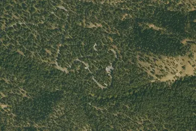
Bog Springs Campground
Public Land · 0.7 mi · Elephant Head
Camp site
Dispersed · 4.3 mi · Sonoita
Camp site
Dispersed · 4.7 mi · Sonoita
3 more within 25 mi
6 OpenStreetMap entries in Elephant Head share one park. They may be individual sites of a single campground. Suggest a merge
Dispersed camping nearby
Free dispersed camping within 19 mi, on public land.
- 4.3 mi
Camp site
Sonoita, AZ · On U.S. Forest Service land · Coronado National Forest
- 4.7 mi
Camp site
Sonoita, AZ · On U.S. Forest Service land · Coronado National Forest
- 4.8 mi
Camp site
Sonoita, AZ · On U.S. Forest Service land · Coronado National Forest
- 4.9 mi
Camp site
Sonoita, AZ · On U.S. Forest Service land · Coronado National Forest
- 5.0 mi
Camp site
Sonoita, AZ · On U.S. Forest Service land · Coronado National Forest
- 5.7 mi
Camp site
Sonoita, AZ · On U.S. Forest Service land · Coronado National Forest
Location and contact
Data from Recreation Information Database (RIDB) / Recreation.gov, Recreation.gov — campground rate cards, USDA Forest Service — Recreation Opportunities
Something wrong here? Suggest an edit
Run this campground? Claim the listing